Near New Concord in Calloway County, Kentucky — The American South (East South Central)
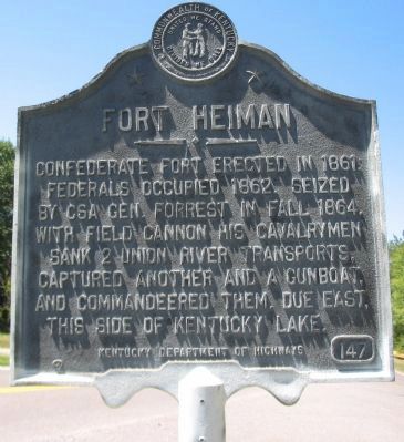
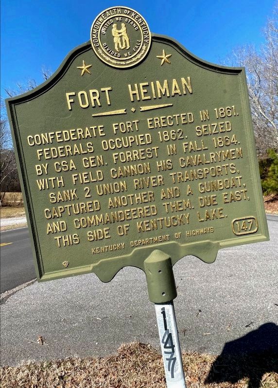
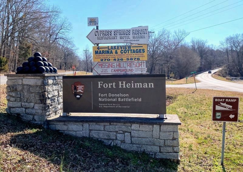
Fort Heiman
Erected by Kentucky Department of Highways. (Marker Number 147.)
Topics and series. This historical marker is listed in these topic lists: Forts and Castles • War, US Civil. In addition, it is included in the Kentucky Historical Society series list. A significant historical year for this entry is 1861.
Location. 36° 31.475′ N, 88° 7.156′ W. Marker is near New Concord, Kentucky, in Calloway County. Marker is at the intersection of State Highway 121 and Cypress Trail, on the right when traveling north on State Highway 121. Touch for map. Marker is in this post office area: New Concord KY 42076, United States of America. Touch for directions.
Other nearby markers. At least 8 other markers are within 6 miles of this marker, measured as the crow flies. Gerard Furnace / Iron Made in Kentucky (within shouting distance of this marker); Under Union Occupation (approx. 3.4 miles away); a different marker also named Fort Heiman (approx. 3.9 miles away); Pook Turtles (approx. 3.9 miles away); Slave Labor (approx. 3.9 miles away); An Unfinished Fort (approx. 3.9 miles away); Forrest Stages A Raid (approx. 3.9 miles away); Battle of Fort Henry (approx. 5.1 miles away in Tennessee). Touch for a list and map of all markers in New Concord.
Photographed By Craig Swain, September 4, 2010
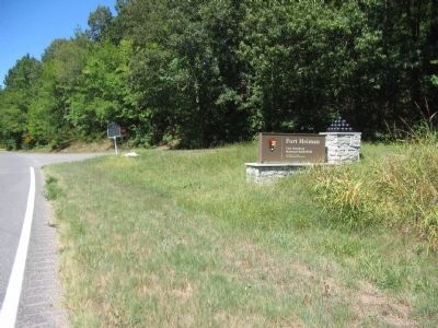
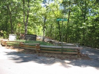
4. Entrance to Fort Heiman Park Unit
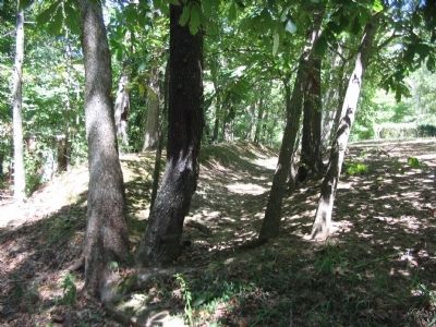
The entrance to the Fort Heiman National Park unit (administered by the Fort Donelson National Battlefield) includes over 150 acres. Acquired in 2006, the site is roughly 3 1/2 miles east of the marker location, reached by taking Cypress Trail to Kline Trail.
Credits. This page was last revised on July 27, 2021. It was originally submitted on November 14, 2010, by Craig Swain of Leesburg, Virginia. This page has been viewed 1,926 times since then and 25 times this year. Photos: 1. submitted on November 14, 2010, by Craig Swain of Leesburg, Virginia. 2. submitted on May 10, 2021, by Shane Oliver of Richmond, Virginia. 3, 4, 5. submitted on November 14, 2010, by Craig Swain of Leesburg, Virginia. 6. submitted on May 10, 2021, by Shane Oliver of Richmond, Virginia.
