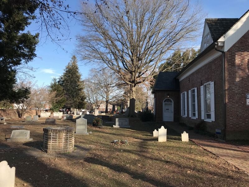
Dover in Kent County, Delaware — The American Northeast (Mid-Atlantic)
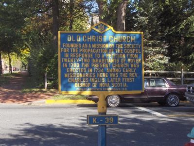
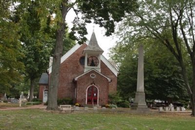
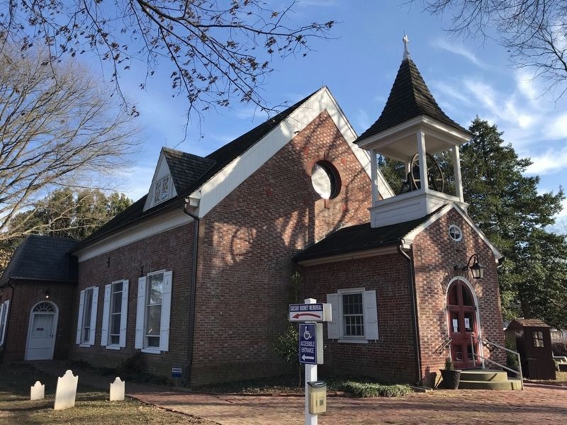
Old Christ Church
Erected 1941 by Public Archives Commission. (Marker Number K-39.)
Topics and series. This historical marker is listed in these topic lists: Churches & Religion • Colonial Era. In addition, it is included in the Delaware Public Archives series list. A significant historical year for this entry is 1703.
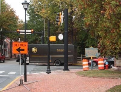
Location. 39° 9.279′ N, 75° 31.383′ W. Marker is in Dover, Delaware, in Kent County. Marker is at the intersection of South State Street and Water Street, on the right when traveling north on South State Street. Touch for map. Marker is in this post office area: Dover DE 19901, United States of America. Touch for directions.
Other nearby markers. At least 8 other markers are within walking distance of this marker. Nicholas Ridgely (here, next to this marker); Caesar Rodney (here, next to this marker); Loockerman House (about 300 feet away, measured in a direct line); Thomas Stevenson House (about 300 feet away); Charles Inglis (about 300 feet away); Revolutionary War Patriot John Banning (about 400 feet away); John Bell House (about 500 feet away); Site of King George’s Tavern (about 500 feet away). Touch for a list and map of all markers in Dover.
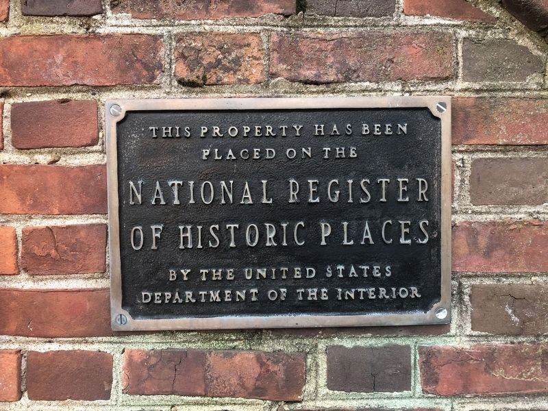
Photographed By Devry Becker Jones (CC0)
6. National Register of Historic Places
On the wall along East Water Street
Credits. This page was last revised on February 1, 2022. It was originally submitted on November 29, 2007, by Roger Dean Meyer of Yankton, South Dakota. This page has been viewed 1,714 times since then and 32 times this year. Photos: 1. submitted on November 29, 2007, by Roger Dean Meyer of Yankton, South Dakota. 2, 3. submitted on October 28, 2012, by Mike Stroud of Bluffton, South Carolina. 4, 5. submitted on January 23, 2022, by Adam Margolis of Mission Viejo, California. 6. submitted on November 11, 2019, by Devry Becker Jones of Washington, District of Columbia. • J. J. Prats was the editor who published this page.
