Near Demopolis in Sumter County, Alabama — The American South (East South Central)
The Rooster Bridge
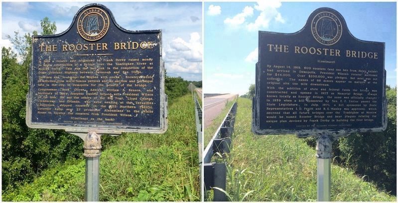
Side A
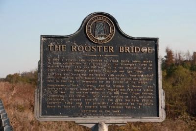
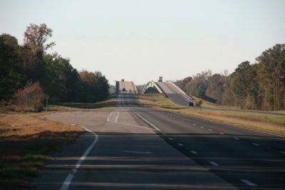
In 1919 a rooster sale organized by Frank Derby raised money to begin construction of a bridge over the Tombigbee River at Moscow Ferry. This was the last link in the completion of the Dixie Overland Highway between Savannah and San Diego.
The idea was “to bridge the ‘Bigbee with cocks”: Roosters would be solicited from world-famous persons and an auction and barbeque held in the city of Demopolis for the benefit of the bridge.
Congressmen “Buck” Oliver, Admiral William S. Benson, and Secretary of Navy Josephus Daniels helped sell President Wilson on the idea. He and the others of the Big Four, Lloyd George, Clemenceau, and Orlando, who were meeting at the Versailles Conference, shipped roosters on the USS Northern Pacific. Governor Kilby sent 27 prominent Alabamians to the White House to receive the roosters from President Wilson.
Side B
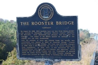
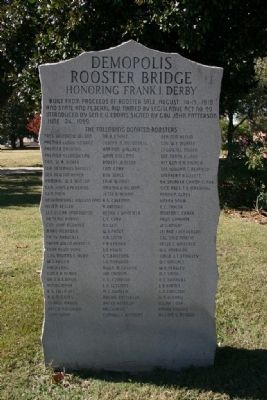
By August 14, 1919, 600 roosters (and one hen from Helen Keller) had arrived in Demopolis. President Wilson’s rooster auctioned for $44,000. Over $200,000 was pledged, but most was not collected. The names of 88 donors appear on markers at the original site one mile downstream.
With the addition of state and federal funds the bridge was constructed and opened in 1925 as Memorial Bridge. Always known locally as Rooster Bridge, the name was officially changed in 1959 when a bill sponsored by Sen. E. O. Eddins passed the State Legislature. In July, 1971, a bill sponsored by State Representatives I. D. Pruitt and R. S. Manley was approved, which decreed that all future bridges over the Tombigbee at Moscow would be named Rooster Bridge and bear plaques relating the unique plan devised by Frank Derby in building the first bridge.
Erected by Alabama Historical Commission and the Alabama Highway Department.
Topics and series. This historical marker is listed in this topic list: Bridges & Viaducts. In addition, it is included in the Former U.S. Presidents: #28 Woodrow Wilson series list. A significant historical month for this entry is July 1971.
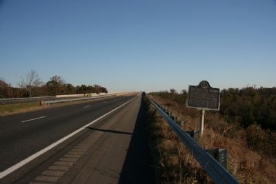
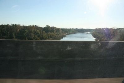
Location. 32° 27.156′ N, 88° 0.382′ W. Marker is near Demopolis, Alabama, in Sumter County. Marker is on U.S. 80, 3 miles east of State Road 28, on the right when traveling east. Marker located on the west approach heading east to the bridge over the Tombigbee River. Touch for map. Marker is in this post office area: Livingston AL 35470, United States of America. Touch for directions.
Other nearby markers. At least 8 other markers are within 11 miles of this marker, measured as the crow flies. Jefferson Baptist Church (approx. 7.9 miles away); Jefferson Methodist Church (approx. 8 miles away); Foscue House (approx. 8.4 miles away); Whitfield Canal (approx. 10½ miles away); St. Leo’s Catholic Church (approx. 10.6 miles away); Gaineswood (approx. 10.7 miles away); White Bluff (approx. 10.7 miles away); Alabama Cattlemen’s Association (approx. 10.8 miles away). Touch for a list and map of all markers in Demopolis.
Also see . . . Towboat Incident At Rooster Bridge April 1979. While looking for photos of the old Rooster Bridge on the net I stumbled across a series of photos of an interesting incident with a towboat and the Rooster Bridge. (Submitted on November 16, 2010, by Timothy Carr of Birmingham, Alabama.)
Additional commentary.
1. Marker no longer missing....
The marker was "missing" for long while. Actually it was laying down in the dirt. It has been remounted on a new pole that is anchored in cement. The marker is still a bit worn but readable and has been turned around.
— Submitted February 20, 2016, by Mark Hilton of Montgomery, Alabama.
Credits. This page was last revised on September 2, 2020. It was originally submitted on November 16, 2010, by Timothy Carr of Birmingham, Alabama. This page has been viewed 2,602 times since then and 56 times this year. Photos: 1, 2, 3, 4, 5, 6. submitted on November 16, 2010, by Timothy Carr of Birmingham, Alabama. 7. submitted on July 20, 2016, by Mark Hilton of Montgomery, Alabama. • Bill Pfingsten was the editor who published this page.
