Mont Clare in Darlington County, South Carolina — The American South (South Atlantic)
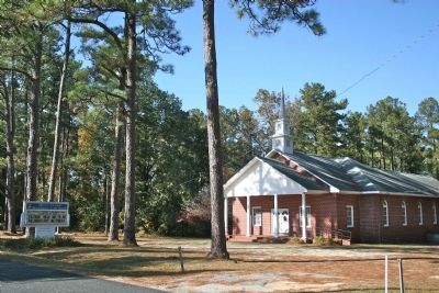
Mont Clare Community Center
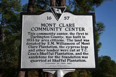
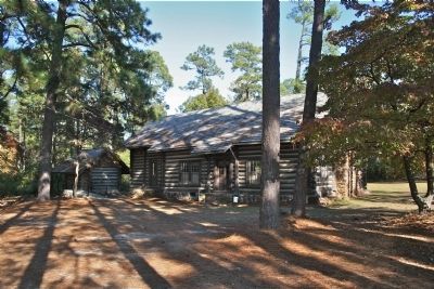
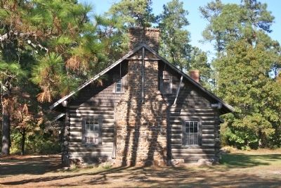
This community center, the first in Darlington County, was built in 1933 by area citizens. The land was donated by E.M. Williamson of Mont Clare Plantation, the cypress logs and other lumber were cut at T.C. Coxe’s Skufful Plantation, and the sandstone for the foundation was quarried at Skufful Plantation.
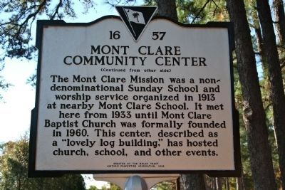
The Mont Clare Mission was a nondenominational Sunday School and worship service organized in 1913 at nearby Mont Clare School. It met here from 1933 until Mont Clare Baptist Church was formally founded in 1960. This center, described as a “lovely log building,” has hosted church, school, and other events.
Erected 2008 by the Welsh Tract Historic Properties Association. (Marker Number 16-57.)
Topics. This historical marker is listed in this topic list: Churches & Religion. A significant historical year for this entry is 1933.
Location. 34° 23.828′ N, 79° 49.023′ W. Marker is in Mont Clare, South Carolina, in Darlington County. Marker is on Mont Clare Road. Touch for map. Marker is at or near this postal address: 1632 Mont Clare Rd, Darlington SC 29540, United States of America. Touch for directions.
Other nearby markers. At least 8 other markers are within 7 miles of this marker, measured as the crow flies. Evan Pugh (approx. 3.2 miles away); John Westfield Lide House (approx. 3.4 miles away); David Rogerson Williams (approx. 4 miles away); John L. Hart House (approx. 4.1 miles away); Mt. Zion Baptist Church (approx. 4.8 miles away); Lamuel Benton (approx. 5.2 miles away); Mount Pleasant Baptist Church / Lowther's Hill Cemetery (approx. 5.3 miles away); Darlington District Agricultural Society / The Mineral Spring (approx. 6.2 miles away).
Credits. This page was last revised on March 27, 2024. It was originally submitted on November 17, 2010, by David Bullard of Seneca, South Carolina. This page has been viewed 681 times since then and 26 times this year. Photos: 1, 2, 3, 4, 5. submitted on November 17, 2010, by David Bullard of Seneca, South Carolina. • Bill Pfingsten was the editor who published this page.
