Near Hanover in Grant County, New Mexico — The American Mountains (Southwest)
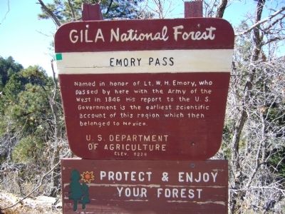
Emory Pass
Elev. 8228
Erected by Gila National Forest - U.S. Department of Agriculture.
Topics. This historical marker is listed in this topic list: Exploration. A significant historical year for this entry is 1846.
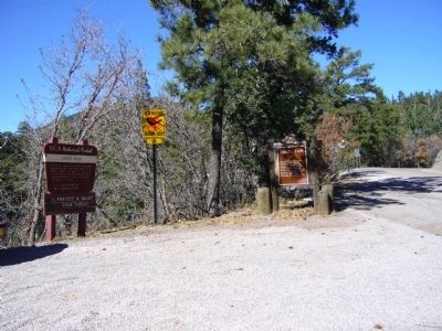
Location. 32° 54.6′ N, 107° 45.967′ W. Marker is near Hanover, New Mexico, in Grant County. Marker is on State Road 152 at milepost 32, on the left when traveling west. Touch for map. Marker is in this post office area: Hanover NM 88041, United States of America. Touch for directions.
Other nearby markers. At least 8 other markers are within 13 miles of this marker, measured as the crow flies. James McNally (approx. 3˝ miles away); Percha Creek (approx. 9.3 miles away); Miller Drug Store (approx. 11.4 miles away); Sadie Orchard (approx. 11.6 miles away); Hillsboro (approx. 11.6 miles away); Ebin (Eben) Stanley (approx. 11.6 miles away); Mimbres Valley (approx. 12.2 miles away); The Mattocks Ruin (approx. 12.4 miles away).
Photographed By Bill Kirchner, November 5, 2010
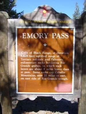
2. Emory Pass Marker
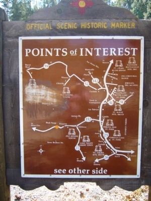
New Mexico Official Scenic Historic Marker
Emory Pass
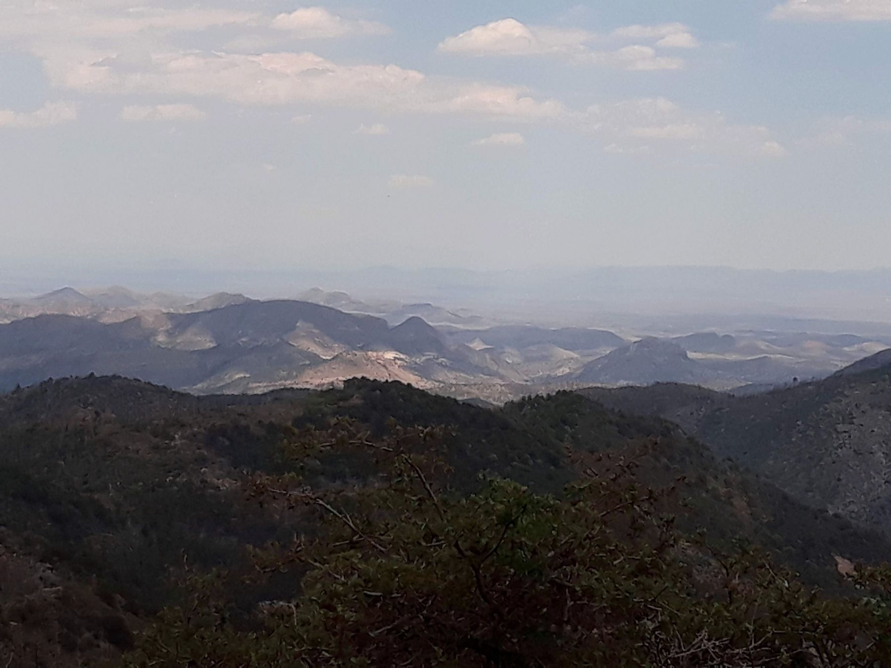
Crest of Black Range, at elevation 8.828 feet; uplifted range of Tertiary volcanic and Paleozoic sedimentary rocks bordering Rio Grande graben, in which rock layers are about 4 miles lower than at pass. Same rocks cap Caballo Mountains, seen 35 miles to east, on east side of Rio Grande trough.
Credits. This page was last revised on December 4, 2022. It was originally submitted on November 19, 2010, by Bill Kirchner of Tucson, Arizona. This page has been viewed 1,966 times since then and 148 times this year. Photos: 1, 2, 3. submitted on November 19, 2010, by Bill Kirchner of Tucson, Arizona. 4. submitted on December 2, 2022, by Andres Munoz of Hatch, New Mexico. 5. submitted on November 19, 2010, by Bill Kirchner of Tucson, Arizona. • Craig Swain was the editor who published this page.
