Near Deming in Luna County, New Mexico — The American Mountains (Southwest)
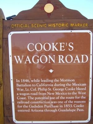
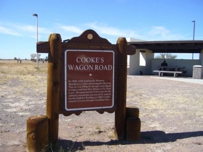
Cooke’s Wagon Road
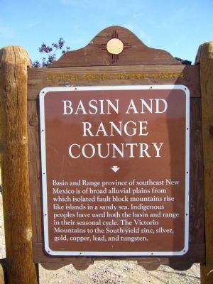
Basin and Range Country
(Back):
Basin and Range province of southeast New Mexico is of broad alluvial plains from which isolated fault block mountains rise like islands in a sandy sea. Indigenous peoples have used both the basin and range in their seasonal cycle. The Victorio Mountains to the South yield zinc, silver, gold, copper, lead, and tungsten.
Topics and series. This historical marker is listed in these topic lists: Exploration • Natural Resources • Roads & Vehicles. In addition, it is included in the Mormon Battalion series list. A significant historical year for this entry is 1846.
Location. 32° 13.483′ N, 108° 7.383′ W. Marker is near Deming, New Mexico, in Luna County. Marker can be reached from Interstate 10 at milepost 61. Marker is in the westbound rest area. Touch for map. Marker is in this post office area: Deming NM 88030, United States of America. Touch for directions.
Other nearby markers. At least 1 other marker is within 8 miles of this marker, measured as the crow flies. Yucca Plains / Yucca (approx. 7˝ miles away).
Credits. This page was last revised on June 16, 2016. It was originally submitted on November 20, 2010, by Bill Kirchner of Tucson, Arizona. This page has been viewed 3,756 times since then and 104 times this year. Photos: 1, 2, 3, 4. submitted on November 20, 2010, by Bill Kirchner of Tucson, Arizona. • Craig Swain was the editor who published this page.


