Alexandria in Rapides Parish, Louisiana — The American South (West South Central)
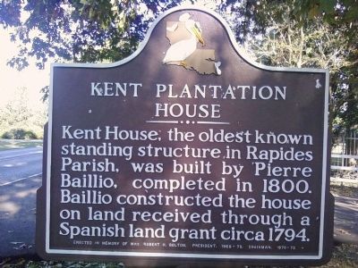
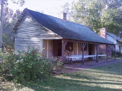
Kent Plantation House
Erected by In Memory of Mrs. Robert H. Bolton, President, 1968-70, Chairman, 1970-72.
Topics. This historical marker is listed in this topic list: Notable Buildings. A significant historical year for this entry is 1800.
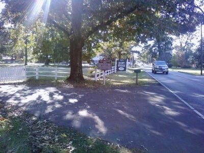
Location. 31° 18.244′ N, 92° 28.965′ W. Marker is in Alexandria, Louisiana, in Rapides Parish. Marker is on Bayou Rapides Road (State Highway 496) west of North MacArthur Drive (U.S. 71), on the left when traveling west. Touch for map. Marker is at or near this postal address: 3601 Bayou Rapides Road, Alexandria LA 71303, United States of America. Touch for directions.
Other nearby markers. At least 8 other markers are within 3 miles of this marker, measured as the crow flies. Louisiana Baptist Convention (approx. 1.2 miles away); Cook Home (approx. 1.3 miles away); The Jewish Temple (approx. 1.7 miles away); St. James Episcopal Church (approx. 1.7 miles away); Little Walter (approx. 2 miles away); Alexandria's Oldest Hospital (approx. 2.1 miles away); Reflection of a Youth / We Must Not Forget (approx. 2.1 miles away); Central Louisiana Connection (approx. 2.1 miles away). Touch for a list and map of all markers in Alexandria.
Additional commentary.
1. Kent Plantation during the Civil War.
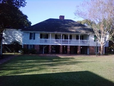
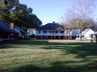
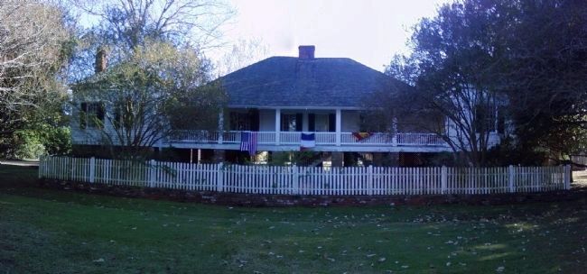
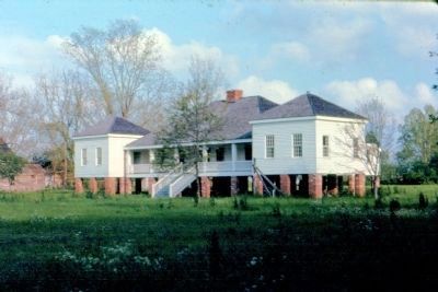
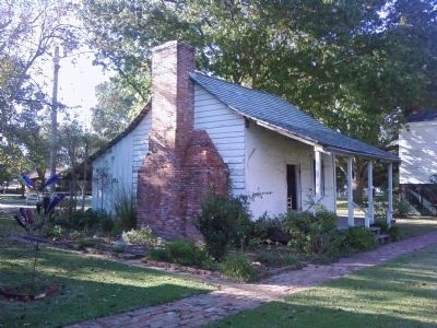
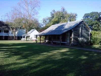
Kent House is a raised French-Creole cottage, built circa 1796, and is the oldest remaining structure in central Louisiana. During the Civil War, the courageous owner, Robert Hynson, who had purchased the house from Baillio heirs in 1842, refused to leave his home, thus preventing Union troops retreating from the Battle of Mansfield from setting it on fire. Unfortunately, Hynson could not save his stock or outbuildings from the ravaging army. Many of Kent House's destroyed structures are replicated with antebellum buildings from other plantations. The complex includes a kitchen, slave cabins, carriage house, milk house, blacksmith shop, and sugar mill.
— Submitted June 20, 2017, by Mark Hilton of Montgomery, Alabama.
Photographed By Lee Hattabaugh, November 17, 2010
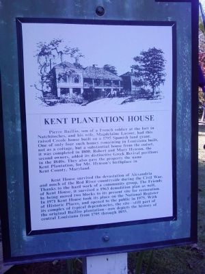
7. Kent Plantation House Marker
Located near the visitor center, this plaque provides additional information about the Kent House.
Kent Plantation House
Pierre Baillio, son of a French soldier at the fort in Natchitoches, and his wife, Magdelaine Lacour, had this raised Creole house built on a 1795 Spanish land grant. One of only four such homes remaining in Louisiana built, not as a cottage, but a substantial house from the outset, it was completed in 1800. Robert and Mary Hynson, the second owners, added its distinctive Greek Revival pavilions in the 1840s. They also gave the property the name Kent Plantation, for Mr. Hynson’s birthplace in Kent County, Maryland.
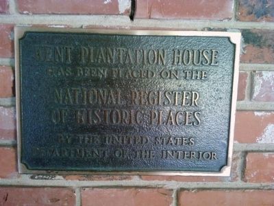
Kent House survived the devastation of Alexandria and much of the Red River countryside during the Civil War. Thanks to the hard work of a community group, The Friends of Kent House, it survived a 1963 demolition plan as well, by being moved two blocks to its present site for restoration. In 1971 Kent House took its place on the National Register of Historic Places, and opened to the public in 1975. With its complex of typical dependencies, the site – still part of the original Baillio plantation – now depicts the history of central Louisiana from 1795 through 1855.
Photographed By Lee Hattabaugh, November 17, 2010
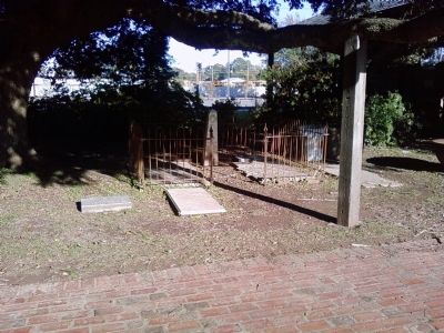
12. Baillio family gravemarkers
A small plot with grave markers of various family members. It is my understanding that these were relocated from a small family cemetery for protection and that the fence is a portion of the original fence from the cemetery. Two of the markers are for War of 1812 and American Civil War veterans.
Credits. This page was last revised on October 29, 2020. It was originally submitted on November 22, 2010, by Lee Hattabaugh of Capshaw, Alabama. This page has been viewed 1,491 times since then and 39 times this year. Photos: 1, 2, 3, 4, 5. submitted on November 22, 2010, by Lee Hattabaugh of Capshaw, Alabama. 6. submitted on August 12, 2012, by David Seibert of Sandy Springs, Georgia. 7, 8, 9, 10, 11, 12. submitted on November 22, 2010, by Lee Hattabaugh of Capshaw, Alabama. • Bill Pfingsten was the editor who published this page.
