Near Deming in Luna County, New Mexico — The American Mountains (Southwest)
First Road to Southern California
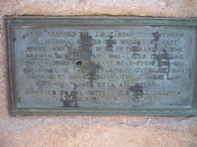
Inscription.
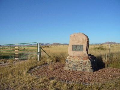
Here crossed the first road to Southern California opened for wagons by Capt. Cooke, who passed here in command of the Mormon Battalion, Nov. 1846 – later it became the California Emigrant Road – from 1858-1861, the route of the Butterfield Overland Mail, St. Louis to San Francisco, the longest land mail route ever attempted-
Erected 1933 by the Butterfield Trail Chapter D A R – Deming, N.M.
Topics and series. This historical marker is listed in these topic lists: Roads & Vehicles • War, Mexican-American. In addition, it is included in the Butterfield Overland Mail, the Daughters of the American Revolution, and the Mormon Battalion series lists. A significant historical year for this entry is 1846.
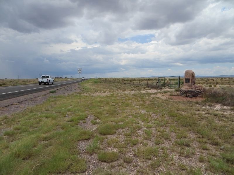
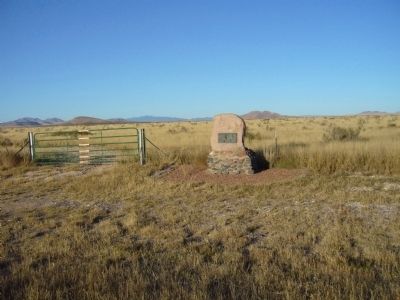
Location. 32° 29.533′ N, 107° 58.45′ W. Marker is near Deming, New Mexico, in Luna County. Marker is at the intersection of U.S. 180 at milepost 145 and Butterfield Trail, on the right when traveling north on U.S. 180. Touch for map. Marker is in this post office area: Deming NM 88030, United States of America. Touch for directions.
Other nearby markers. At least 4 other markers are within 13 miles of this marker, measured as the crow flies. Carlotta Thompkins Thurmond (approx. 0.4 miles away); City of Rocks State Park (approx. 6˝ miles away); Wind Power! (approx. 6.6 miles away); The Death of Mangas Coloradas (approx. 12.6 miles away).
Credits. This page was last revised on August 16, 2018. It was originally submitted on November 22, 2010, by Bill Kirchner of Tucson, Arizona. This page has been viewed 1,110 times since then and 17 times this year. Photos: 1. submitted on November 22, 2010, by Bill Kirchner of Tucson, Arizona. 2. submitted on August 16, 2018, by Bill Kirchner of Tucson, Arizona. 3, 4. submitted on November 22, 2010, by Bill Kirchner of Tucson, Arizona. • Craig Swain was the editor who published this page.


