Dover in Stewart County, Tennessee — The American South (East South Central)
Seizing the Initiative
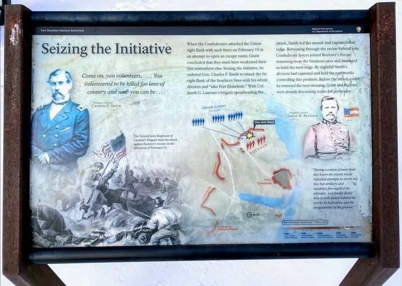
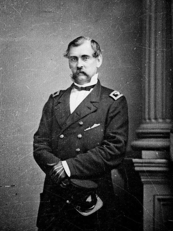
Brigadier General Charles F. Smith
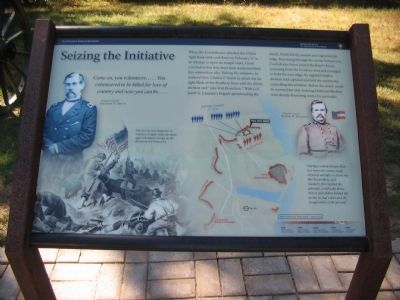
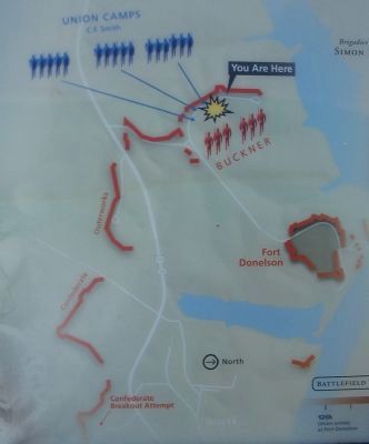
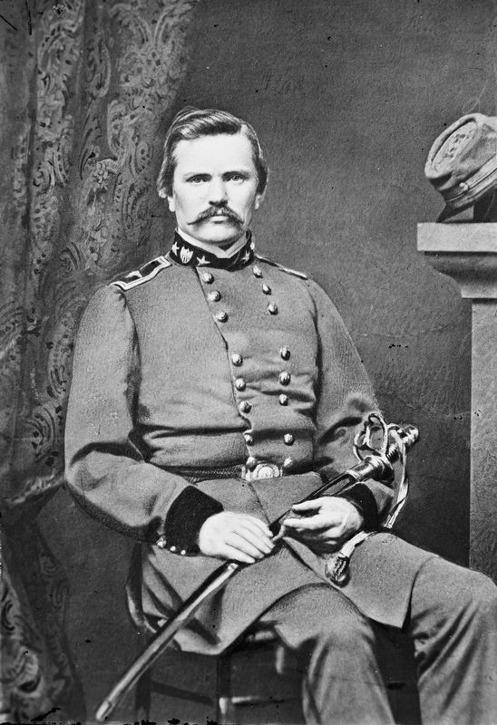
When the Confederates attacked the Union right flank with such force on February 15 in an attempt to open an escape route, Grant concluded that they must have weakened their line somewhere else. Seizing the initiative, he ordered Gen. Charles F. Smith to attack the far right flank of the Southern lines with his whole division and "take Fort Donelson." With Col. Jacob G. Lauman's brigade spearheading the attack, Smith led the assault and captured this ridge. Retreating through the ravine behind you, Confederate forces joined Buckner's forces returning from the breakout area and managed to hold the next ridge. By nightfall Smith's division had captured and held the earthworks controlling this position. Before the attack could be renewed the next morning, Grant and Buckner were already discussing terms for surrender.
"During a contest of more than two hours the enemy made repeated attempts to storm my line but artillery and musketry fire repelled the attempts, and finally drove him to seek shelter behind the works he had taken and the irregularities of the ground."
Brigadier General Simon B. Buckner
(Caption for illustration on lower left):
The Second Iowa Regiment of Lauman's Brigade leads the attack against Buckner's troops on the afternoon of February 15.
Erected by Fort Donelson National Battlefield - National Park Service - Department of the Interior.
Topics. This historical marker is listed in this topic list: War, US Civil. A significant historical month for this entry is February 1846.
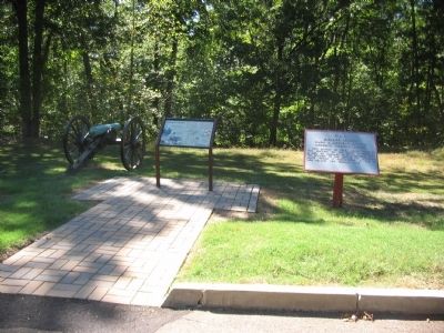
Location. 36° 29.297′ N, 87° 51.927′ W. Marker is in Dover, Tennessee, in Stewart County. Marker is on Eddyville Spur Road, on the right when traveling south. Located at stop six, Jackson's Battery, on the driving tour of Fort Donelson National Battlefield. Touch for map. Marker is in this post office area: Dover TN 37058, United States of America. Touch for directions.
Other nearby markers. At least 8 other markers are within walking distance of this marker. Jackson's Virginia Battery (here, next to this marker); Lauman's Brigade (about 700 feet away, measured in a direct line); Union Camp (about 700 feet away); Buckner's Division (approx. ¼ mile away); Fort Donelson Confederate Monument (approx. ¼ mile away); Buckner's Defense (approx. 0.3 miles away); Confederate Monument (approx. 0.3 miles away); Porter's Battery (approx. 0.4 miles away). Touch for a list and map of all markers in Dover.
Also see . . . Fort Donelson. National Park Service site. (Submitted on November 25, 2010, by Craig Swain of Leesburg, Virginia.)
Credits. This page was last revised on May 10, 2021. It was originally submitted on November 25, 2010, by Craig Swain of Leesburg, Virginia. This page has been viewed 638 times since then and 4 times this year. Photos: 1. submitted on May 10, 2021, by Shane Oliver of Richmond, Virginia. 2, 3, 4. submitted on November 25, 2010, by Craig Swain of Leesburg, Virginia. 5, 6. submitted on October 17, 2020, by Allen C. Browne of Silver Spring, Maryland.
