Pilot Knob in Iron County, Missouri — The American Midwest (Upper Plains)
The Powder Magazine
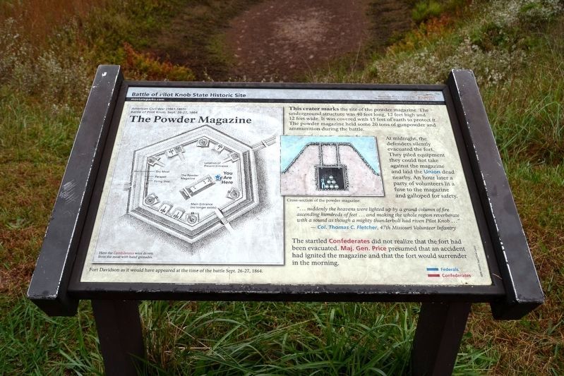
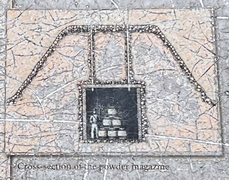
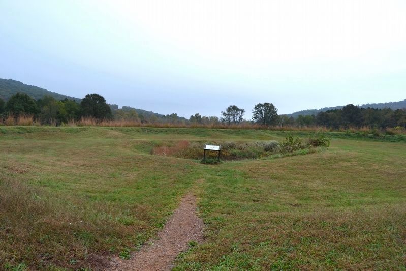
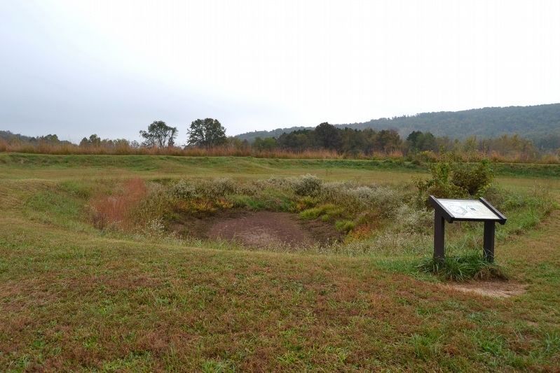
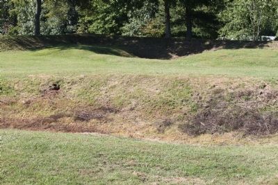
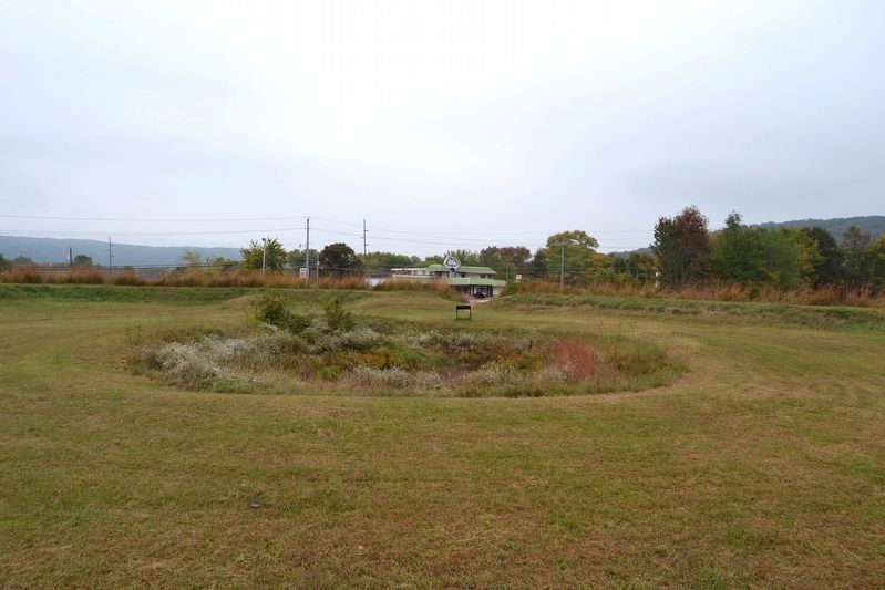
This crater marks the site of the powder magazine. The underground structure was 40 feet long, 12 feet high and 12 feet wide. It was covered with 15 feet of earth to protect it. The powder magazine held some 20 tons of gunpowder and ammunition during the battle.
At midnight, the defenders silently evacuated the fort. They piled equipment they could not take against the magazine and laid the Union dead nearby. An hour later a party of volunteers lit a fuse to the magazine and galloped for safety.
“... suddenly the heavens were lighted up by a grand column of fire ascending hundreds of feet … and making the whole region reverberate with a sound as though a mighty thunderbolt had riven Pilot Knob …”
- Col. Thomas C. Fletcher, 47th Missouri Volunteer Infantry
The startled Confederates did not realize that the fort had been evacuated. Maj. Gen. Price presumed that an accident had ignited the magazine and that the fort would surrender in the morning.
Erected by Missouri State Parks.
Topics. This historical marker is listed in this topic list: War, US Civil. A significant historical date for this entry is September 28, 1864.
Location. 37° 37.191′ N, 90° 38.399′ W. Marker is in Pilot Knob, Missouri, in Iron County. Marker can be reached from Maple Street (State Highway 221) 0.1 miles east of McCune Street, on the right when traveling north. Marker is located on an interpretive trail in the Battle of Pilot Knob State Historic Site; the above directions are to the driveway entrance to the visitor center. Touch for map. Marker is at or near this postal address: 118 Maple St, Pilot Knob MO 63663, United States of America. Touch for directions.
Other nearby markers. At least 8 other markers are within walking distance of this marker. The Moat (within shouting distance of this marker); Pilot Knob Mountain (within shouting distance of this marker); The Battle of Pilot Knob (within shouting distance of this marker); The Doomed Assault (within shouting distance of this marker); Fort Davidson (within shouting distance of this marker); The Struggle for the Mountains (about 300 feet away, measured in a direct line); The Fight for Ironton (about 400 feet away); St. Mary's Catholic Church (about 700 feet away). Touch for a list and map of all markers in Pilot Knob.
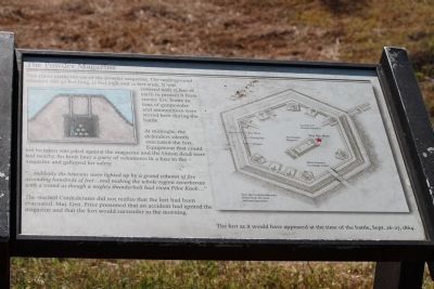
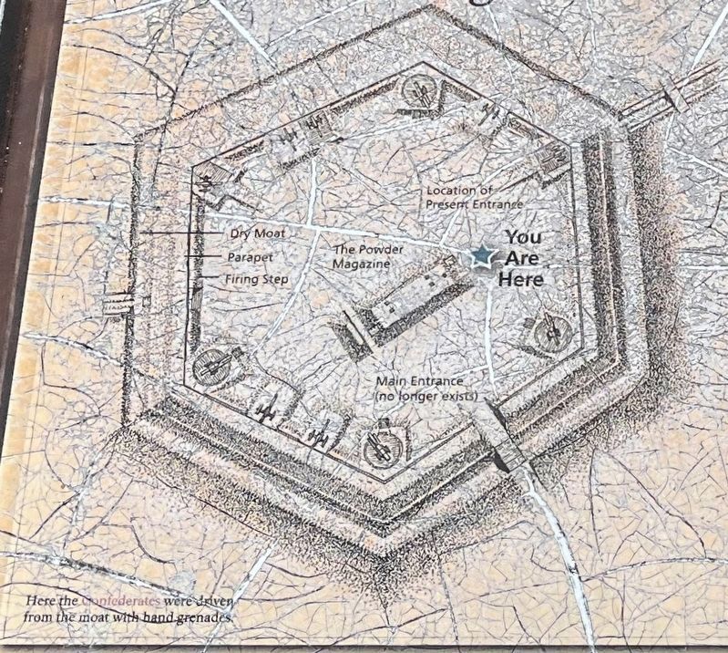
More about this marker. The marker includes illustrations of a cross-section of the powder magazine and Fort Davidson as it would have appeared at the time of the battle Sept. 26-27, 1864.
Also see . . . Fort Davidson State Historic Site. Missouri Vacations entry (Submitted on November 27, 2010, by Craig Swain of Leesburg, Virginia.)
Additional commentary.
1. Marker Replacement
The marker was replaced sometime after 2010. Only minor changes were made to the graphic layout of the marker and the inscription text.
— Submitted October 28, 2016, by Duane Hall of Abilene, Texas.
Credits. This page was last revised on November 20, 2022. It was originally submitted on November 27, 2010, by Craig Swain of Leesburg, Virginia. This page has been viewed 774 times since then and 15 times this year. Photos: 1. submitted on October 28, 2016, by Duane Hall of Abilene, Texas. 2. submitted on November 27, 2010, by Craig Swain of Leesburg, Virginia. 3, 4. submitted on November 20, 2022, by Craig Swain of Leesburg, Virginia. 5, 6. submitted on October 28, 2016, by Duane Hall of Abilene, Texas. 7. submitted on November 27, 2010, by Craig Swain of Leesburg, Virginia. 8. submitted on October 28, 2016, by Duane Hall of Abilene, Texas.
