Near Elberton in Elbert County, Georgia — The American South (South Atlantic)
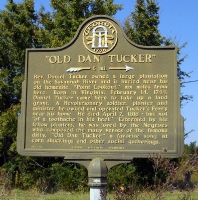
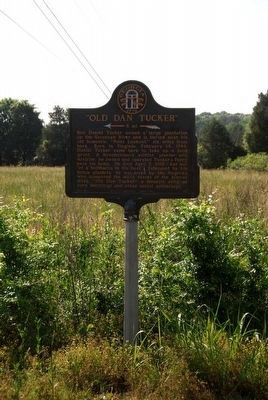
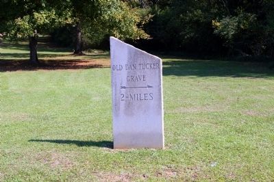
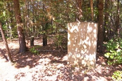
"Old Dan Tucker"
>>>-- 6 mi. -->
Rev. Daniel Tucker owned a large plantation on the Savannah River and is buried near his old homesite, “Point Lookout,” six miles from here. Born in Virginia, February 14, 1744, Daniel Tucker came here to take up a land grant. A revolutionary soldier, planter and minister, he owned and operated Tucker's Ferry near his home. He died April 7, 1818 -- but not “of a toothache in his heel.” Esteemed by his fellow planters, he was loved by the Negroes who composed the many verses of the famous ditty, “Old Dan Tucker,” a favorite song at corn shuckings and other social gatherings.
Erected 1957 by Georgia Historical Commission. (Marker Number 052-12.)
Topics and series. This historical marker is listed in these topic lists: African Americans • Agriculture • Arts, Letters, Music • Colonial Era • War, US Revolutionary. In addition, it is included in the Georgia Historical Society series list. A significant historical date for this entry is February 14, 1821.
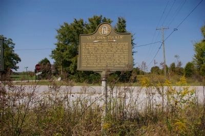
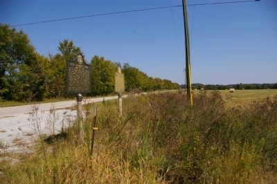
Location. 34° 4.399′ N, 82° 44.65′ W. Marker is near Elberton, Georgia, in Elbert County. Marker is at the intersection of Calhoun Falls Highway (Georgia Route 72) and Pearl Mill Road, on the left when traveling east on Calhoun Falls Highway. Touch for map. Marker is in this post office area: Elberton GA 30635, United States of America. Touch for directions.
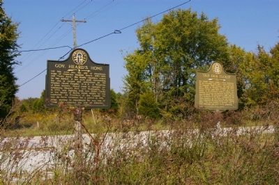
Other nearby markers. At least 8 other markers are within 7 miles of this marker, measured as the crow flies. Gov. Heard’s Home (here, next to this marker); Bethlehem Methodist Church (approx. 3˝ miles away); Colonists’ Crossing (approx. 5.3 miles away); Nancy Hart Cabin (approx. 5.8 miles away); Nancy Hart (approx. 6.2 miles away); Olin D. Johnston Memorial Boulevard (approx. 6.2 miles away in South Carolina); Millwood (approx. 6.2 miles away in South Carolina); Battle of Cherokee Ford (approx. 6.4 miles away). Touch for a list and map of all markers in Elberton.
Regarding "Old Dan Tucker". One of the many verses of "Old Dan Tucker:"
Old Daniel Tucker wuz a mighty man,
He washed his face in a fryin' pan;
Combed his head wid a wagon wheel
And he died wid de toofache in his heel.
Also see . . .
1. Old Dan Tucker. The lengthy Wikipedia entry for "Old Dan Tucker." (Submitted on November 30, 2010, by David Seibert of Sandy Springs, Georgia.)
2. Rev. Dan Tucker. Find A Grave website entry:
(Submitted on September 21, 2023, by Larry Gertner of New York, New York.)
Credits. This page was last revised on September 21, 2023. It was originally submitted on November 30, 2010, by David Seibert of Sandy Springs, Georgia. This page has been viewed 2,888 times since then and 83 times this year. Photos: 1, 2, 3, 4. submitted on November 30, 2010, by David Seibert of Sandy Springs, Georgia. 5. submitted on March 23, 2016, by Brian Scott of Anderson, South Carolina. 6, 7. submitted on November 30, 2010, by David Seibert of Sandy Springs, Georgia. • Craig Swain was the editor who published this page.
