Near Gustine/Santa Nella in Merced County, California — The American West (Pacific Coastal)
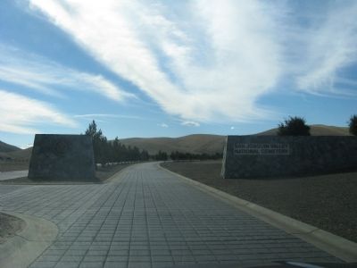
San Joaquin Valley National Cemetery
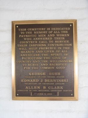
This cemetery is dedicated to the memory of all the patriotic men and women who answered their country’s call to service. Their inspiring contribution will help preserve in the hearts and lives of all Americans the spirit of patriotism, the love of country, and the willingness to serve and sacrifice for the common good.
President of the United States
Edward J. Derwinski
Secretary of Veterans Affairs
Allen B. Clark
Director of the National Cemetery System
Erected 1992.
Topics and series. This historical marker is listed in this topic list: Notable Places. In addition, it is included in the Former U.S. Presidents: #41 George H.W. Bush, and the National Cemeteries series lists.
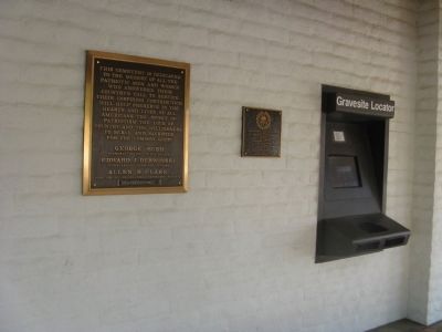
Location. 37° 6.878′ N, 121° 4.732′ W. Marker is near Gustine/Santa Nella, California, in Merced County. Marker is on West McCabe Road. Marker is mounted on the wall of the Administration Building. The location of the cemetery and the California Korean War Memorial are well marked on both south and north bound I-5. Touch for map. Marker is at or near this postal address: 32053 West McCabe Road, Gustine CA 95322, United States of America. Touch for directions.
Other nearby markers. At least 8 other markers are within 3 miles of this marker, measured as the crow flies. In Memory of Korean War Veterans (within shouting distance of this marker); The Chosin Few (within shouting distance of this marker); a different marker also named In Memory of Korean War Veterans (within shouting distance of this marker); The Remembrance Memorial for California Korean War Veterans (within shouting distance of this marker); First Marine Division – FMF (within shouting distance of this marker); United States Submariners Memorial (about 400 feet away, measured in a direct line); Remember Pearl Harbor (about 600 feet away); Pacheco Pass (approx. 2.6 miles away). Touch for a list and map of all markers in Gustine/Santa Nella.
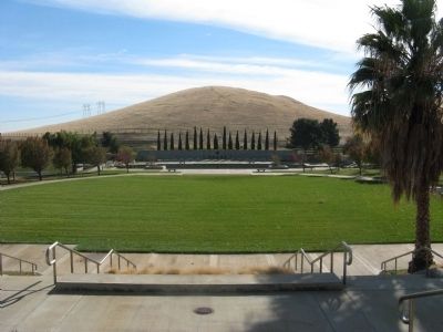
Regarding San Joaquin Valley National Cemetery. The creation of San Joaquin Valley National Cemetery is the sixth in the state and 114th in the National Cemetery Administration.
The Romero Ranch Company donated the land for the cemetery to the Department of Veterans Affairs on Feb. 3, 1989. Construction of the 105-acre first phase began July 15, 1990. The water-pumping station on the California Aqueduct, the last element of construction, was completed in May 1992. The first phase yielded about 15,000 gravesites and 8,000 in-ground cremation sites.
Additional keywords. National Cemeteries
Photographed By Syd Whittle, November 28, 2010
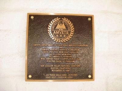
3. AMVETS Dedication Plaque
[This plaque is mounted next to the San Joaquin Valley National Cemetery Marker]
AMVETS Department of California Service Foundation
and
AMVETS National Service Foundation
Dedicated this memorial carillon
as a living memorial
to America’s Veterans
who served their country honorably
for the cause of freedon
San Joaquin Valley National Cemetery
Gustine, California
November 21, 1998
“…as these bells ring…honored
dead rest…freedom lives…”
Photographed By Syd Whittle, November 28, 2010
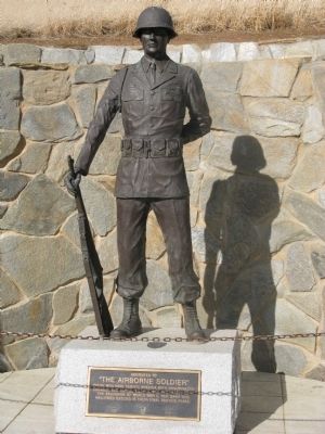
4. The Airborne Soldier
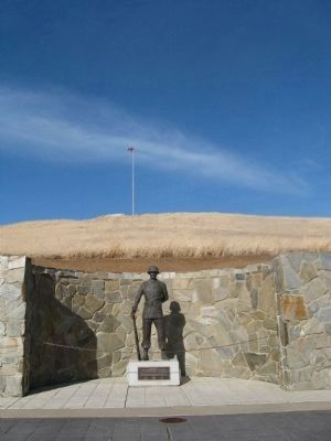
[Statue is located across the drive from the Administration Building.]
Plaque reads:
Dedicated to
"The Airborne Soldier"
These men have served America with unsurpassed
courage and honor, both in war and peace, since
the beginning of World War II, for many this
hallowed ground is their final resting place.
Plaque reads:
"The Airborne Soldier"
These men have served America with unsurpassed
courage and honor, both in war and peace, since
the beginning of World War II, for many this
hallowed ground is their final resting place.
Photographed By Syd Whittle, November 28, 2010
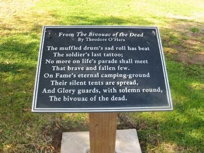
7. The Bivouac of the Dead
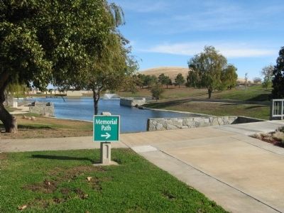
[Plaque is located on the Memorial Path]
From The Bivouac of the Dead
By Theodore O'Hara
The muffled drum's sad roll has beat
The soldier's last tattoo;
No more on life's parade shall meet
That brave and fallen few.
On Fame's eternal camping-ground
Their silent tents are spread,
And Glory guards, with solumn round,
The bivouac of the dead.
By Theodore O'Hara
The muffled drum's sad roll has beat
The soldier's last tattoo;
No more on life's parade shall meet
That brave and fallen few.
On Fame's eternal camping-ground
Their silent tents are spread,
And Glory guards, with solumn round,
The bivouac of the dead.
Photographed By Syd Whittle, November 28, 2010
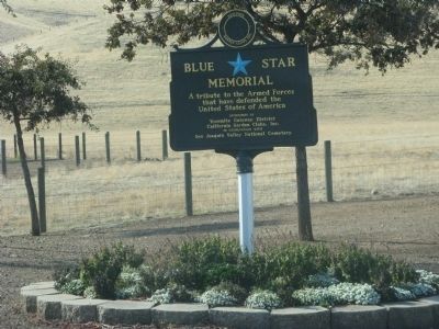
11. Blue Star Memorial Plaque
[Located on the entrance drive]
Blue Star
Memorial
A tribute to the Armed Forces
that have defended the
United States of America
Sponsored by
Yosemite Gateway District
California Garden Clubs, Inc.
In cooperation with
San Joaquin Valley National Cemetery
Memorial
A tribute to the Armed Forces
that have defended the
United States of America
Sponsored by
Yosemite Gateway District
California Garden Clubs, Inc.
In cooperation with
San Joaquin Valley National Cemetery
Credits. This page was last revised on July 23, 2020. It was originally submitted on December 5, 2010, by Syd Whittle of Mesa, Arizona. This page has been viewed 1,269 times since then and 52 times this year. Photos: 1, 2, 3, 4, 5, 6, 7, 8, 9, 10, 11. submitted on December 5, 2010, by Syd Whittle of Mesa, Arizona.
