Dover in Stewart County, Tennessee — The American South (East South Central)
Planning to Escape
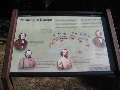
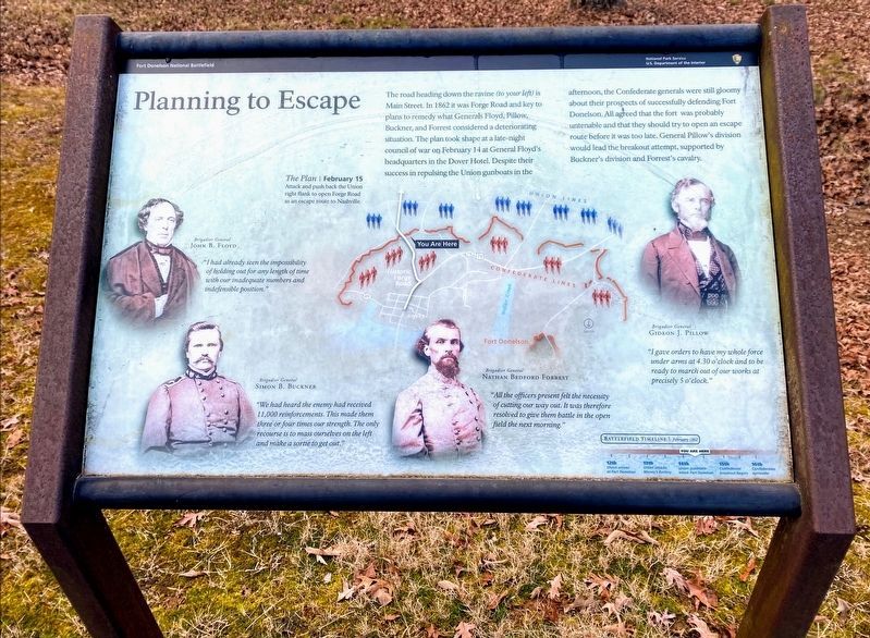
The Plan | February 15
Attack and push back the Union right flank to open Forge Road as an escape route to Nashville.
Brigadier General John B. Floyd
"I had already seen the impossibility of holding out for any length of time with our inadequate numbers and indefensible position."
Brigadier General Simon B. Buckner
"We had heard the enemy had received 11,000 reinforcements. This made them three or four times our strength. The only recourse is to mass ourselves on the left and make a sortie to get out."
Brigadier General Nathan Bedford Forrest
"All the officers present felt the necessity of cutting our way out. It was therefore resolved to give them battle in the open field the next morning."
Brigadier General Gideon J. Pillow
"I gave orders to have my whole force under arms at 4.30 o'clock and to be ready to march out of our works at precisely 5 o'clock."
Erected by Fort Donelson National Battlefield - National Park Service - Department of the Interior.
Topics. This historical marker is listed in this topic list: War, US Civil. A significant historical year for this entry is 1862.
Location. 36° 28.832′ N, 87° 50.401′ W. Marker is in Dover, Tennessee, in Stewart County. Marker is at the intersection of Natcor Drive (County Route 943) and Main Street, on the right when traveling east on Natcor Drive. Located at stop nine, Forge Road, on the driving tour of Fort Donelson National Battlefield. Touch for map. Marker is in this post office area: Dover TN 37058, United States of America. Touch for directions.
Other nearby markers. At least 8 other markers are within walking distance of this marker. Texas (here, next to this marker); McCausland's Brigade (a few steps from this marker); Greene's Battery (within shouting distance of this marker); Brown's Brigade (within shouting distance of this marker); Forrest's Cavalry (within shouting distance of this marker); Baldwin's Brigade (about 600 feet away, measured in a direct line); Colonel Thomas J. Davidson's Brigade (about 600 feet away); Original Position (approx. 0.2 miles away). Touch for a list and map of all markers in Dover.
Also see . . . Fort Donelson. National Park Service site. (Submitted on December 5, 2010, by Craig Swain of Leesburg, Virginia.)
Credits. This page was last revised on May 10, 2021. It was originally submitted on December 5, 2010, by Craig Swain of Leesburg, Virginia. This page has been viewed 670 times since then and 9 times this year. Photos: 1. submitted on December 5, 2010, by Craig Swain of Leesburg, Virginia. 2. submitted on May 10, 2021, by Shane Oliver of Richmond, Virginia. 3. submitted on December 5, 2010, by Craig Swain of Leesburg, Virginia.


