Dover in Stewart County, Tennessee — The American South (East South Central)
Brown's Brigade
Buckner's Division
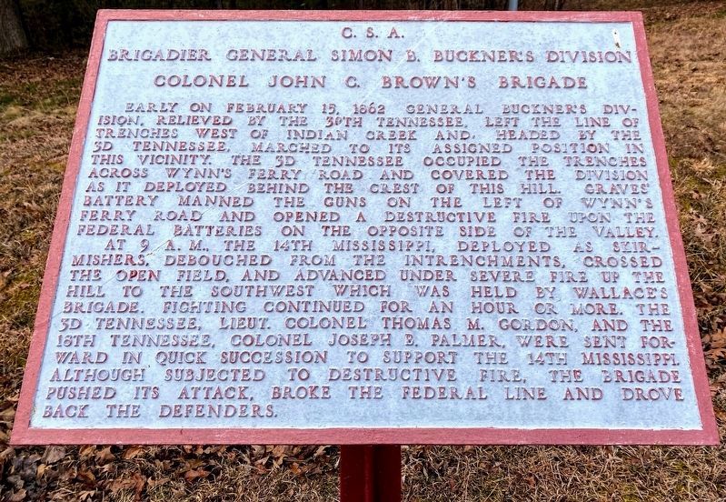
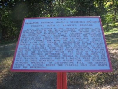
Brigadier General Simon B. Buckner's Division
Colonel John C. Brown's Brigade
At 9 a.m. the 14th Mississippi, deployed as skirmishers, debouched from the intrenchments, crossed the open field, and advanced under severe fire up the hill to the southwest which was held by Wallace's Brigade. Fighting continued for an hour or more. The 3d Tennessee, Colonel Joseph B. Palmer, were sent forward in quick succession to support the 14th Mississippi. Although subjected to destructive fire, the brigade pushed its attack, broke the Federal line and drove back the defenders.
Topics. This historical marker is listed in this topic list: War, US Civil. A significant historical month for this entry is February 1908.
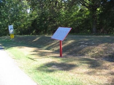
Location. 36° 28.84′ N, 87° 50.364′ W. Marker is in Dover, Tennessee, in Stewart County. Marker is at the intersection of Main Street and Natcor Drive (County Route 943), on the right when traveling south on Main Street. Located at stop nine, Forge Road, on the driving tour of Fort Donelson National Battlefield. Touch for map. Marker is in this post office area: Dover TN 37058, United States of America. Touch for directions.
Other nearby markers. At least 8 other markers are within walking distance of this marker. Greene's Battery (a few steps from this marker); Texas (within shouting distance of this marker); Planning to Escape (within shouting distance of this marker); McCausland's Brigade (within shouting distance of this marker); Forrest's Cavalry (about 400 feet away, measured in a direct line); Colonel Thomas J. Davidson's Brigade (about 400 feet away); Baldwin's Brigade (about 700 feet away); Original Position (approx. 0.2 miles away). Touch for a list and map of all markers in Dover.
Also see . . . Fort Donelson. National Park Service site. (Submitted on December 5, 2010, by Craig Swain of Leesburg, Virginia.)
Credits. This page was last revised on May 10, 2021. It was originally submitted on December 5, 2010, by Craig Swain of Leesburg, Virginia. This page has been viewed 669 times since then and 9 times this year. Photos: 1. submitted on May 10, 2021, by Shane Oliver of Richmond, Virginia. 2, 3. submitted on December 5, 2010, by Craig Swain of Leesburg, Virginia.


