Dover in Stewart County, Tennessee — The American South (East South Central)
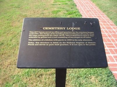
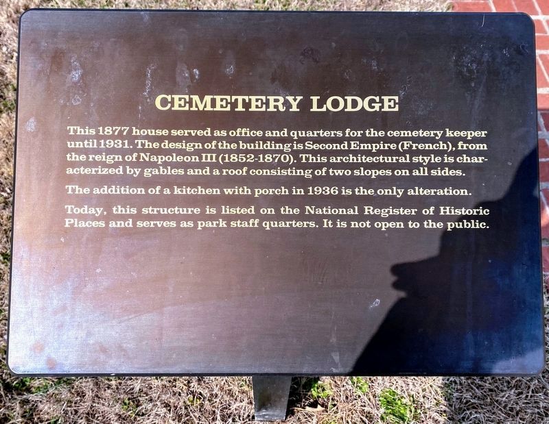
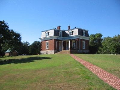
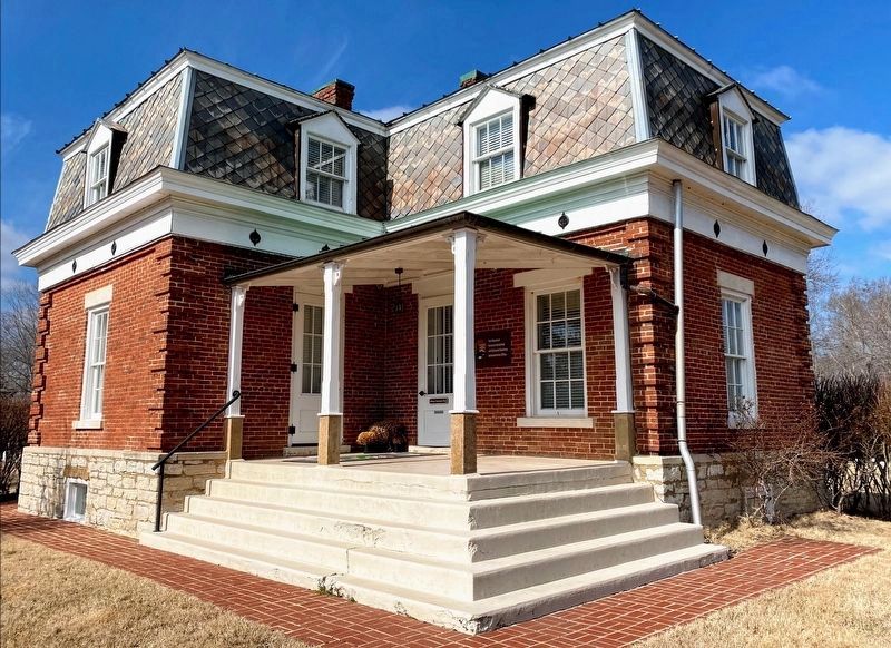
Cemetery Lodge
The addition of a kitchen with porch in 1936 is only alteration.
Today, this structure is listed on the National Register of Historic Places and serves as park staff quarters. It is not open to the public.
Topics. This historical marker is listed in this topic list: Notable Buildings. A significant historical year for this entry is 1877.
Location. 36° 29.273′ N, 87° 50.82′ W. Marker is in Dover, Tennessee, in Stewart County. Marker is on Cemetery Road, on the right when traveling north. Located at stop 11, the National Cemetery, on the driving tour of Fort Donelson National Battlefield. Touch for map. Marker is in this post office area: Dover TN 37058, United States of America. Touch for directions.
Other nearby markers. At least 8 other markers are within walking distance of this marker. Hallowed Ground (a few steps from this marker); Freedmen's Camp (about 700 feet away, measured in a direct line); Brandon-Sykes Showboat House (approx. 0.2 miles away); The Battle of Dover/Confederate Mass Grave (approx. ¼ mile away); The Stewart County Iron Industry (approx. 0.4 miles away); History of the Stewart County Courthouse (approx. 0.4 miles away); To All Who Served (approx. 0.4 miles away); Dover Under Fire (approx. 0.4 miles away). Touch for a list and map of all markers in Dover.
Also see . . . Fort Donelson. National Park Service site. (Submitted on December 7, 2010, by Craig Swain of Leesburg, Virginia.)
Credits. This page was last revised on May 10, 2021. It was originally submitted on December 7, 2010, by Craig Swain of Leesburg, Virginia. This page has been viewed 512 times since then and 11 times this year. Photos: 1. submitted on December 7, 2010, by Craig Swain of Leesburg, Virginia. 2. submitted on May 10, 2021, by Shane Oliver of Richmond, Virginia. 3. submitted on December 7, 2010, by Craig Swain of Leesburg, Virginia. 4. submitted on May 10, 2021, by Shane Oliver of Richmond, Virginia.


