Unionville in Talbot County, Maryland — The American Northeast (Mid-Atlantic)
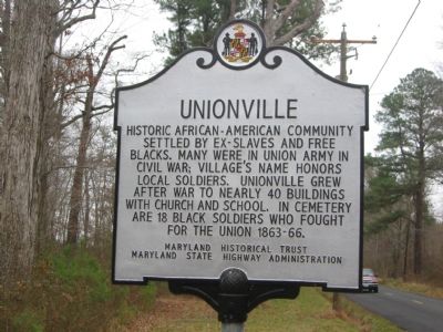
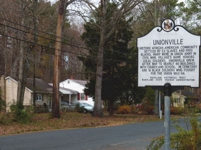
Unionville
Erected by Maryland Historical Trust, Maryland State Highway Administration.
Topics. This historical marker is listed in these topic lists: African Americans • Churches & Religion • Education • Settlements & Settlers • War, US Civil.
Location. 38° 48.385′ N, 76° 8.338′ W. Marker is in Unionville, Maryland, in Talbot County. Marker is on Unionville Road (Maryland Route 370) half a mile south of Tunis Mills Road, on the left when traveling south. Touch for map. Marker is in this post office area: Easton MD 21601, United States of America. Touch for directions.
Other nearby markers. At least 8 other markers are within 4 miles of this marker, measured as the crow flies. Union Soldiers (approx. 0.2 miles away); a different marker also named Unionville (approx. 0.2 miles away); Site of “The Rest” (approx. 1.3 miles away); Betty’s Cove Meetinghouse (approx. 2 miles away); Fausley (approx. 3 miles away); The “Mannour of Ratcliffe” (approx. 3 miles away); William Penn (approx. 3½ miles away); Bracing for an Attack (approx. 3.6 miles away). Touch for a list and map of all markers in Unionville.
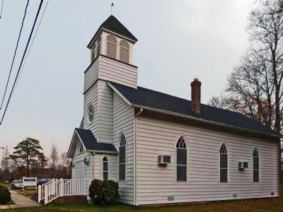
Regarding Unionville. A "Union Soldiers" historic marker is two tenths of a mile north of this marker, on the grounds of the church, and lists the 18 soldiers by name.
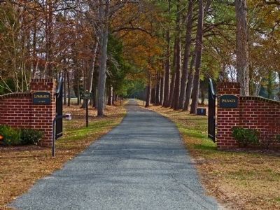
Photographed By Allen C. Browne, November 25, 2012
5. The Gates of Lombardy Plantation
When United States Colored Infantry (USCI) troops returned from the civil war in 1866 the Quaker owners of Lombardy Plantation, John and Ezekiel Cowgill gave each veteran a plot of land and $1 a month. These veterans named their community Cowgilltown. Later they renamed it Uniontown.
Credits. This page was last revised on June 16, 2016. It was originally submitted on November 30, 2007, by F. Robby of Baltimore, Maryland. This page has been viewed 1,932 times since then and 59 times this year. Photos: 1. submitted on November 30, 2007, by F. Robby of Baltimore, Maryland. 2, 3, 4, 5. submitted on June 4, 2013, by Allen C. Browne of Silver Spring, Maryland.
