Goshen in Pike County, Alabama — The American South (East South Central)
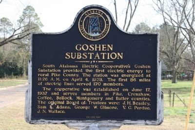
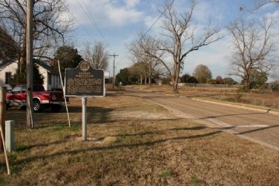
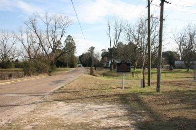
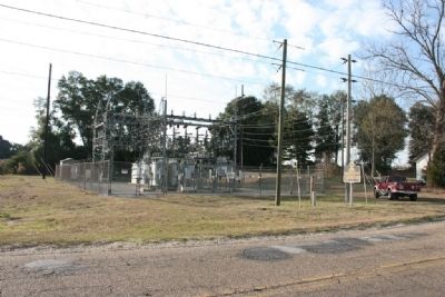
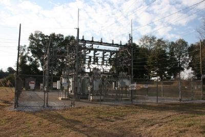
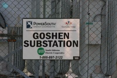
Goshen Substation
The cooperative was established on June 17, 1937 and serves members in Pike, Crenshaw, Coffee, Bullock, Montgomery and Butler counties. The original Board of Trustees were: J. H. Beasley, Sam K. Adams, George W. Gilmore, V. G. Perdue, J. N. Wallace.
Erected 1987 by Alabama Historical Commission.
Topics and series. This historical marker is listed in this topic list: Industry & Commerce. In addition, it is included in the Alabama Historical Commission, and the Rural Electrification 💡 series lists. A significant historical month for this entry is April 1860.
Location. 31° 43.614′ N, 86° 7.266′ W. Marker is in Goshen, Alabama, in Pike County. Marker is on County Road 5 north of County Road 28, on the left when traveling north. Touch for map. Marker is in this post office area: Goshen AL 36035, United States of America. Touch for directions.
Other nearby markers. At least 8 other markers are within 9 miles of this marker, measured as the crow flies. Memorial (approx. 0.6 miles away); Elam Primitive Baptist Church (approx. 1˝ miles away); Little Oak United Methodist Church (approx. 4 miles away); Rodgers School (approx. 4.3 miles away); New Providence Primitive Baptist Church Site (approx. 5.3 miles away); Allred House & Cemetery (approx. 5.7 miles away); Crenshaw County Courthouse (approx. 8.4 miles away); The Bricken Building (approx. 8.4 miles away). Touch for a list and map of all markers in Goshen.
Credits. This page was last revised on June 16, 2016. It was originally submitted on December 12, 2010, by Timothy Carr of Birmingham, Alabama. This page has been viewed 996 times since then and 46 times this year. Photos: 1, 2, 3, 4, 5, 6. submitted on December 12, 2010, by Timothy Carr of Birmingham, Alabama. • Syd Whittle was the editor who published this page.
