Chickamauga in Walker County, Georgia — The American South (South Atlantic)
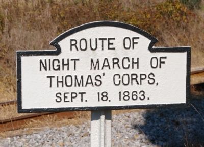
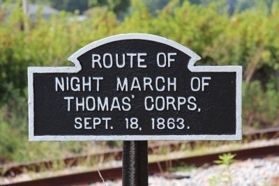
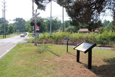
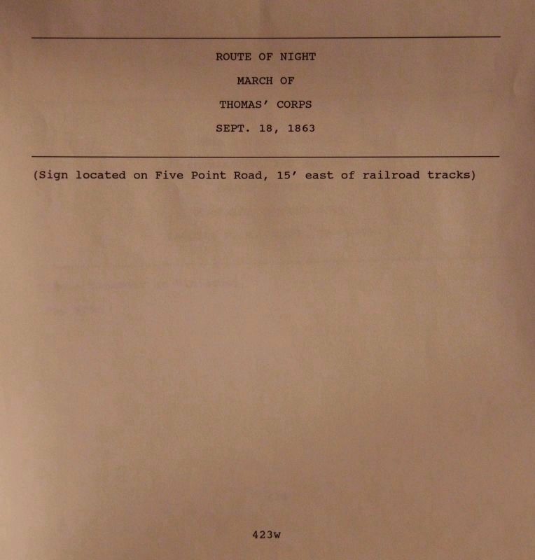
Thomas' Corps
night march of
Thomas' Corps
Sept. 18, 1863.
Erected 1890 by the Chickamauga and Chattanooga National Military Park Commission. (Marker Number MT-423w.)
Topics. This historical marker is listed in this topic list: War, US Civil. A significant historical date for this entry is September 18, 1863.
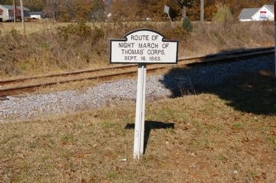
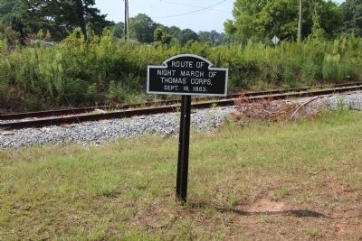
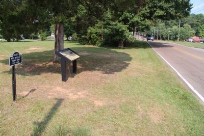
Location. 34° 52.971′ N, 85° 17.032′ W. Marker is in Chickamauga, Georgia, in Walker County. Marker is at the intersection of Lee-Gordon Mill Road and Osburn Road, on the right when traveling west on Lee-Gordon Mill Road. The marker is opposite the Chickamauga City Hall, immediately east of the railroad crossing. Touch for map. Marker is in this post office area: Chickamauga GA 30707, United States of America. Touch for directions.
Other nearby markers. At least 8 other markers are within walking distance of this marker. Thomas' Night March (a few steps from this marker); Crittenden Avenue (approx. 0.8 miles away); Hood Avenue (approx. 0.8 miles away); Boynton Avenue (approx. 0.8 miles away); Longstreet Avenue (approx. 0.8 miles away); Thomas Avenue (approx. 0.8 miles away); Lee Avenue (approx. 0.8 miles away); Bragg Avenue (approx. 0.8 miles away). Touch for a list and map of all markers in Chickamauga.
Regarding Thomas' Corps. By the evening of September 18th it was clear to Federal Major General William S. Rosecrans, commanding the Army of the Cumberland, that the Confederates under General Braxton Bragg were moving to cut him off from Chattanooga. Rosecrans ordered Major General George H. Thomas, commanding the XIV Army Corps, to move up from McLemore's Cove (where he had crossed Lookout Mountain through Steven's Gap) to cover the Federal left.
After a difficult night march through this area, Thomas and the XIV Corps arrived in the area of the Kelly farm at daylight on September 19th. The armies were then in place for the Battle of Chickamauga.
Credits. This page was last revised on July 10, 2019. It was originally submitted on December 19, 2010, by David Seibert of Sandy Springs, Georgia. This page has been viewed 859 times since then and 10 times this year. Last updated on December 21, 2010, by David Seibert of Sandy Springs, Georgia. Photos: 1. submitted on December 19, 2010, by David Seibert of Sandy Springs, Georgia. 2. submitted on April 30, 2015, by Dale K. Benington of Toledo, Ohio. 3. submitted on December 19, 2010, by David Seibert of Sandy Springs, Georgia. 4, 5, 6. submitted on April 30, 2015, by Dale K. Benington of Toledo, Ohio. 7. submitted on July 10, 2019, by Dale K. Benington of Toledo, Ohio. • Craig Swain was the editor who published this page.
