Near Tompkinsville in Monroe County, Kentucky — The American South (East South Central)
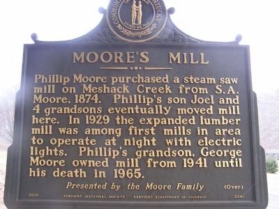
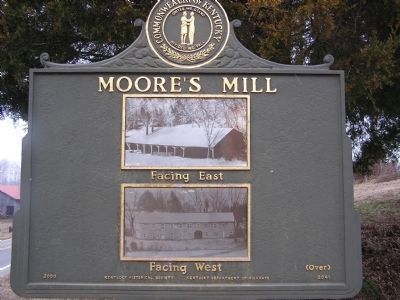
Moore's Mill
Over
Erected 2000 by The Moore Family, Kentucky Historical Society and the Kentucky Dept. of Highways. (Marker Number 2041.)
Topics and series. This historical marker is listed in these topic lists: Horticulture & Forestry • Waterways & Vessels. In addition, it is included in the Kentucky Historical Society series list. A significant historical year for this entry is 1874.
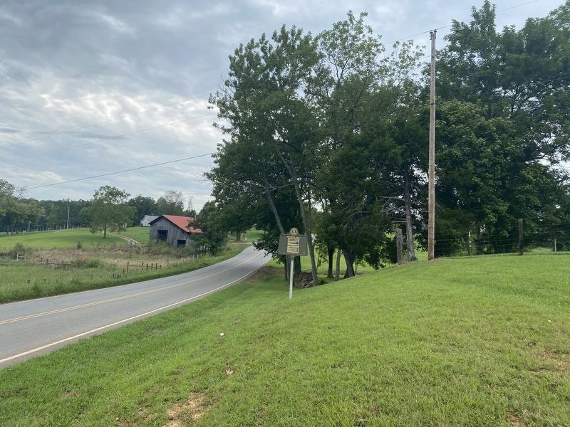
Location. 36° 39.899′ N, 85° 39.238′ W. Marker is near Tompkinsville, Kentucky, in Monroe County. Marker is on State Highway 163, on the left when traveling south. Located about 3.5 miles south of Tompkinsville. Touch for map. Marker is in this post office area: Tompkinsville KY 42167, United States of America. Touch for directions.
Other nearby markers. At least 8 other markers are within 3 miles of this marker, measured as the crow flies. Old Mulkey Church (approx. 2.9 miles away); Hannah Boone Pennington (approx. 2.9 miles away); Battle of Tompkinsville (approx. 3 miles away); Rev. W. E. Thomas (approx. 3.1 miles away); The Book of Records (approx. 3.1 miles away); Hannah Boone (approx. 3.1 miles away); Revolutionary War Veterans (approx. 3.1 miles away); Five Generations of Gospel Preachers (approx. 3.1 miles away). Touch for a list and map of all markers in Tompkinsville.
Credits. This page was last revised on August 31, 2021. It was originally submitted on January 1, 2011, by Chad Comer of Gamaliel, Kentucky. This page has been viewed 1,002 times since then and 48 times this year. Photos: 1, 2. submitted on January 5, 2011, by Chad Comer of Gamaliel, Kentucky. 3. submitted on August 21, 2021, by Darren Jefferson Clay of Duluth, Georgia. • Syd Whittle was the editor who published this page.
Editor’s want-list for this marker. • • Can you help?


