Quartzsite in La Paz County, Arizona — The American Mountains (Southwest)
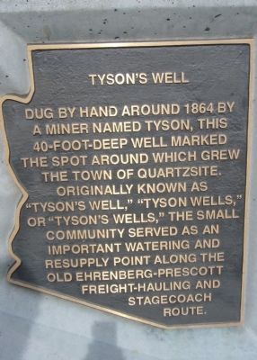
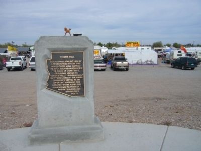
Tyson's Well
Topics. This historical marker is listed in these topic lists: Natural Resources • Settlements & Settlers. A significant historical year for this entry is 1864.
Location. 33° 39.978′ N, 114° 13.215′ W. Marker is in Quartzsite, Arizona, in La Paz County. Marker is on West Main Street (U.S. 95) 0.3 miles west of Arizona Route 95, on the right when traveling west. Touch for map. Marker is in this post office area: Quartzsite AZ 85346, United States of America. Touch for directions.
Other nearby markers. At least 6 other markers are within 13 miles of this marker, measured as the crow flies. Oasis Hotel Site (within shouting distance of this marker); a different marker also named Tyson's Well (within shouting distance of this marker); Phantom II (approx. 0.9 miles away); Hi Jolly (approx. 0.9 miles away); The Last Camp of Hi Jolly (approx. one mile away); Quinn Pass (approx. 12.6 miles away).
Credits. This page was last revised on June 16, 2016. It was originally submitted on January 2, 2011, by Bill Kirchner of Tucson, Arizona. This page has been viewed 1,330 times since then and 131 times this year. Photos: 1, 2, 3. submitted on January 2, 2011, by Bill Kirchner of Tucson, Arizona. • Syd Whittle was the editor who published this page.


