Ravenswood in Jackson County, West Virginia — The American South (Appalachia)
Ravenswood / Ohio River Ford
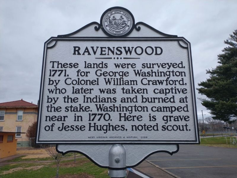
Ravenswood. These lands were surveyed, 1771, for George Washington by Colonel William Crawford, who later was taken captive by the Indians and burned at the stake. Washington camped here in 1770. Here is grave of Jesse Hughes, noted scout.
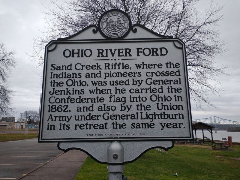
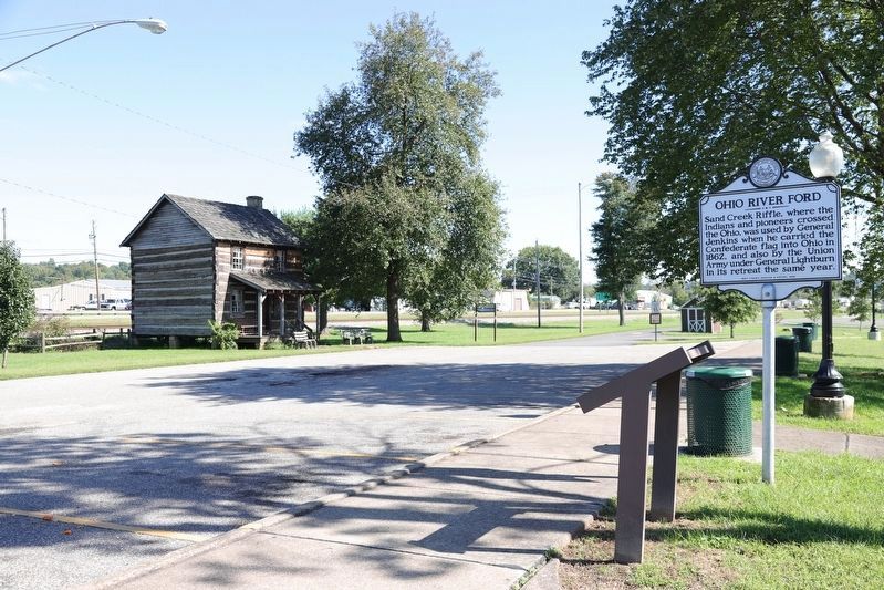
Ohio River Ford. Sand Creek Riffle, where the Indians and pioneers crossed the Ohio, was used by General Jenkins when he carried the Confederate flag into Ohio in 1862, and also by the Union Army under General Lightburn in its retreat the same year.
Erected 2009 by West Virginia Archives & History.
Topics and series. This historical marker is listed in these topic lists: Cemeteries & Burial Sites • Colonial Era • War, US Civil • Waterways & Vessels. In addition, it is included in the Former U.S. Presidents: #01 George Washington, the George Washington Slept Here, and the West Virginia Archives and History series lists. A significant historical year for this entry is 1771.
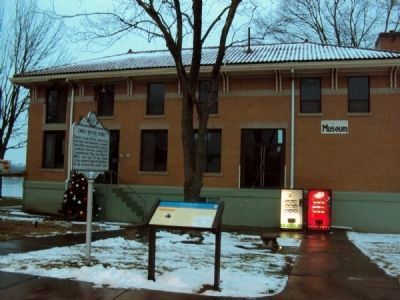
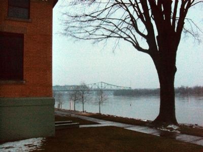
Location. 38° 56.583′ N, 81° 45.516′ W. Marker is in Ravenswood, West Virginia, in Jackson County. Marker is on West Virginia Route 68, 0.2 miles east of U.S. 33, on the left when traveling north. The marker stands in front of a museum and alongside a parking lot for the Washington Western Land Park, between WV Route 68 and the Ohio River. Touch for map. Marker is in this post office area: Ravenswood WV 26164, United States of America. Touch for directions.
Other nearby markers. At least 8 other markers are within 4 miles of this marker, measured as the crow flies. Ravenswood (here, next to this marker); Daniel Frost (a few steps from this marker); Hillside Plow (within shouting distance of this marker); Russell Eugene Harmon Memorial (within shouting distance of this marker); George Washington (approx. 0.4 miles away); Washington’s Land (approx. 1.3 miles away); Battle of Buffington Island (approx. 3.1 miles away); Major Daniel McCook (approx. 3.7 miles away in Ohio). Touch for a list and map of all markers in Ravenswood.
Related markers. Click here for a list of markers that are related to this marker.
Also see . . .
1. Wikipedia article on Albert Jenkins. The article explains some of the major events in his life, including his 1862 Ohio raid. (Submitted on January 10, 2011, by Jamie Abel of Westerville, Ohio.)
2. Wikipedia article on Joseph Lightburn. This article describes events in the life of Joseph Andrew Jackson Lightburn. (Submitted on January 10, 2011, by Jamie Abel of Westerville, Ohio.)
3. Ohio History article on William Crawford. This Ohio Historical Society article details many of the events in the life of William Crawford. (Submitted on January 10, 2011, by Jamie Abel of Westerville, Ohio.)
Credits. This page was last revised on January 5, 2022. It was originally submitted on January 10, 2011, by Jamie Abel of Westerville, Ohio. This page has been viewed 1,651 times since then and 56 times this year. Photos: 1, 2. submitted on January 5, 2022, by Craig Doda of Napoleon, Ohio. 3, 4. submitted on January 10, 2011, by Jamie Abel of Westerville, Ohio. 5. submitted on October 9, 2018, by J. J. Prats of Powell, Ohio. • Craig Swain was the editor who published this page.
