Near Pinnacle in Stokes County, North Carolina — The American South (South Atlantic)
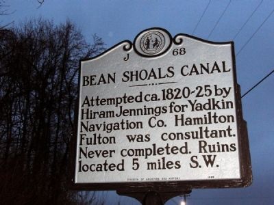
Bean Shoals Canal
Erected 1989 by Division of Archives and History. (Marker Number J-68.)
Topics and series. This historical marker is listed in this topic list: Waterways & Vessels. In addition, it is included in the North Carolina Division of Archives and History series list.
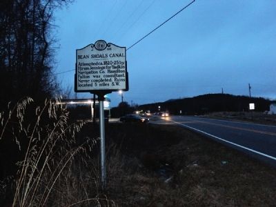
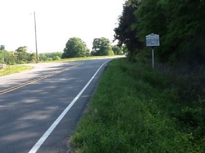
Location. 36° 18.939′ N, 80° 26.38′ W. Marker is near Pinnacle, North Carolina, in Stokes County. Marker is on Perch Road, 0.2 miles west of U.S. 52, on the right when traveling west. Touch for map. Marker is in this post office area: Pinnacle NC 27043, United States of America. Touch for directions.
Other nearby markers. At least 8 other markers are within 10 miles of this marker, measured as the crow flies. Pilot Mountain (approx. 2.2 miles away); Common High Flyers of Pilot Mountain (approx. 2.8 miles away); Prescribed Fire (approx. 2.8 miles away); Log Home Of Hohanna Jacob And Anna Catherine (Volck) Spaenhauer (approx. 5˝ miles away); Reeves Homeplace (approx. 6.9 miles away); Wright Court House Site 1771-1774 / Richmond Court House Site 1774-1789 (approx. 6.9 miles away); In Memory of Lt. John Martin (approx. 7˝ miles away); Nazareth Church (approx. 9.4 miles away). Touch for a list and map of all markers in Pinnacle.
Credits. This page was last revised on June 20, 2021. It was originally submitted on January 11, 2011, by Jamie Abel of Westerville, Ohio. This page has been viewed 654 times since then and 18 times this year. Photos: 1, 2. submitted on January 11, 2011, by Jamie Abel of Westerville, Ohio. 3. submitted on April 14, 2012, by Michael C. Wilcox of Winston-Salem, North Carolina. • Syd Whittle was the editor who published this page.


