Grand Canyon National Park in Coconino County, Arizona — The American Mountains (Southwest)
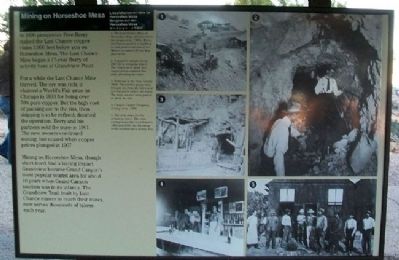
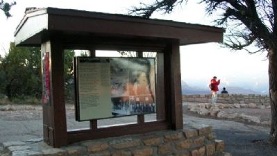
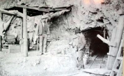
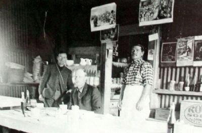
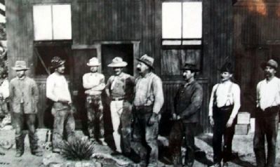
Mining on Horseshoe Mesa
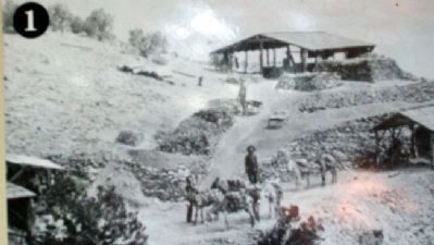
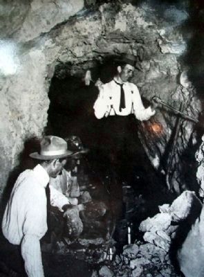
In 1890 prospector Pete Berry staked the Last Chance copper claim 3,000 feet below you on Horseshoe Mesa. The Last Chance Mine began a 17-year flurry of activity here at Grandview Point.
For a while the Last Chance Mine thrived. The ore was rich; it claimed a World's Fair prize in Chicago in 1893 for being over 70% pure copper. But the high cost of packing ore to the rim, then shipping it to be refined, doomed the operation. Berry and his partners sold the mine in 1901. The new owners continued mining, but ceased when copper prices plunged in 1907.
Mining on Horseshoe Mesa, though short-lived , had a lasting impact. Grandview became Grand Canyon's most popular tourist area for about 10 years when Grand Canyon tourism was in its infancy. The Grandview Trail, built by Last Chance miners to reach their mines, now serves thousands of hikers each year.
Erected by National Park Service.
Topics. This historical marker is listed in these topic lists: Environment • Exploration • Industry & Commerce. A significant historical year for this entry is 1890.
Location. 35° 59.892′ N, 111° 59.27′ W. Marker is in Grand Canyon National Park, Arizona, in Coconino County. Marker is at Grandview Point, about 0.6 mile NNE of Desert View (East Rim) Drive (Arizona Highway 64). Touch for map. Marker is in this post office area: Grand Canyon AZ 86023, United States of America. Touch for directions.
Other nearby markers. At least 8 other markers are within 9 miles of this marker, measured as the crow flies. Grandview, 1898 (here, next to this marker); Spanish Discovery (approx. 3.6 miles away); Tusayan Museum and Ruin (approx. 6.9 miles away); Tusayan Ruin Trail (approx. 6.9 miles away); Stephen Tyng Mather (approx. 8 miles away); The Tusayan Lookout Tree (approx. 8.6 miles away); Kaibab Trail Suspension Bridge (approx. 8.6 miles away); How's the View? (approx. 8.6 miles away). Touch for a list and map of all markers in Grand Canyon National Park.
Also see . . .
1. Pete Berry and the Last Chance Mine. Grand Canyon Visitors Bureau website entry (Submitted on January 11, 2011, by William Fischer, Jr. of Scranton, Pennsylvania.)
2. Day Hiking the Grandview Trail. National Park Serice website entry (Submitted on January 11, 2011, by William Fischer, Jr. of Scranton, Pennsylvania.)
3. Desert View Drive. National Park Service website entry (Submitted on January 11, 2011, by William Fischer, Jr. of Scranton, Pennsylvania.)
Credits. This page was last revised on April 23, 2024. It was originally submitted on January 11, 2011, by William Fischer, Jr. of Scranton, Pennsylvania. This page has been viewed 1,091 times since then and 44 times this year. Photos: 1, 2, 3, 4, 5, 6, 7. submitted on January 11, 2011, by William Fischer, Jr. of Scranton, Pennsylvania.
