Near Bellefonte in New Castle County, Delaware — The American Northeast (Mid-Atlantic)
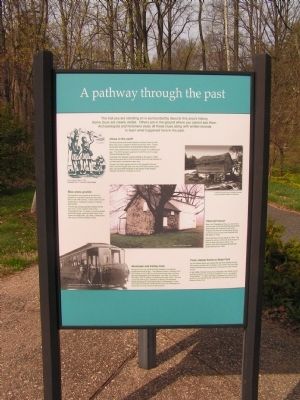
A pathway through the past
The trail you are standing on is surrounded by clues to this area's history. Some clues are clearly visible. Others are in the ground where you cannot see them. Archaeologists and historians study all these clues along with written records to learn what happened here in the past.
Clues in the earth
Grinding stones and broken pieces of pottery show us that there was once a village of Native Americans here. These clues were discovered by archaeologists digging nearby.
There were settlements in Delaware as early as 12,000 years ago. The first European explorers found the Lenni Lenape Indians farming this land.
Colonists from Sweden started settling in this area in 1638. Early documents tell us that a Swedish grist mill was located on a small stream somewhere near here.
Though the Dutch seized control of the Swedish colony in 1657, and the English took over from the Dutch seven years later, the land itself remained in the hands of the original Swedish families for decades to come.
Blue stone granite
The granite in the ground all around you became an important industry to this area early in the 19th century. It was used to build breakwaters, roadways, bridges, buildings, and homes.
The first big mining operation started not far from here, on the western side of the Philadelphia Pike. A cluster of small buildings around the large, open pit mine came to be known as Quarryville. By 1885, a new quarry was dug on nearby Shellpot Creek.
That old house
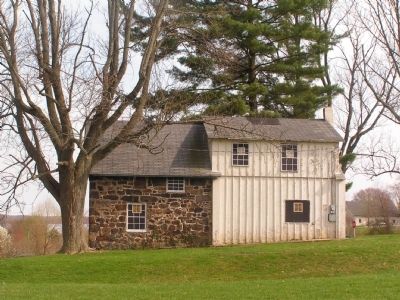
Near the Philadelphia Pike, you can see a house close to this trail that has stood there since before the American Revolution. Property records tell us that Sarah Brooks built this house on land she inherited from her father in 1759.
She lived here until her death in 1784. The original structure, which was built of logs, is now covered with board siding. The addition built with blue stone granite was constructed around 1800.
Railroads and trolley lines
Along this trail, you will find the foundations of a railroad embankment and bridge. The Bellevue Quarry Company built this railway around 1881 to move stone to the main rail lines serving Philadelphia and Wilmington. By 1899, the tracks of the Darby Line of trolleys crossed the land near here. This line connected Wilmington, Delaware to Darby, Pennsylvania where passengers could board trains to Philadelphia. It was this trolley line that the Cauffiel family rode from Wilmington to reach their summer home on this property.
From stately home to State Park
On the hillside above you stands the red brick Cauffiel House, with nearby wooden farm buildings.
In the 1880s, the land around you was part of an estate owned by State Supreme Court Justice Charles B. Lore. He called it "Gevendolen." In 1993, the State of Delaware purchased this land from the Cauffiel family, opening it to the public as part of Bellevue State Park.
[Captions:]
A water powered grist mill, similar to those used by Swedish settlers in Delaware
Lenni Lenape Indians, 1654
Illustration from P. Linstrom's Nova Suecia
Topics. This historical marker is listed in these topic lists: Environment • Industry & Commerce • Native Americans • Settlements & Settlers. A significant historical year for this entry is 1638.
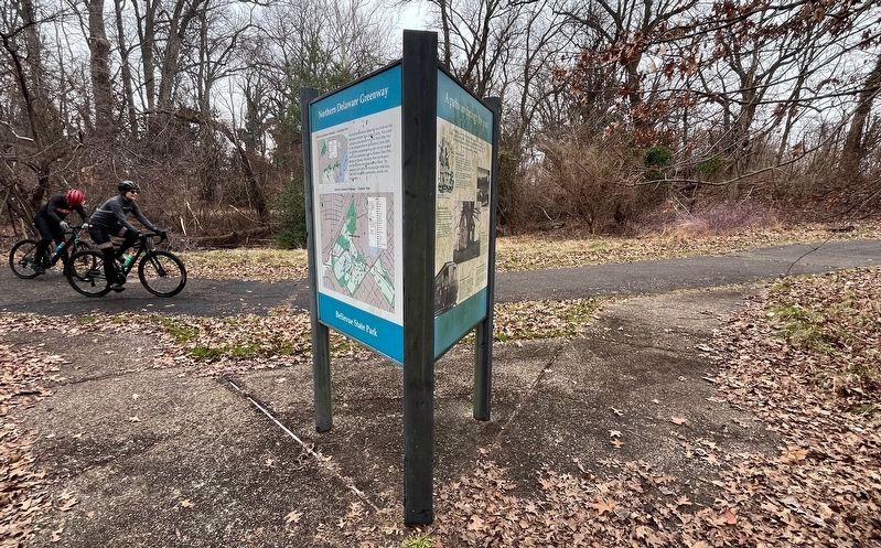
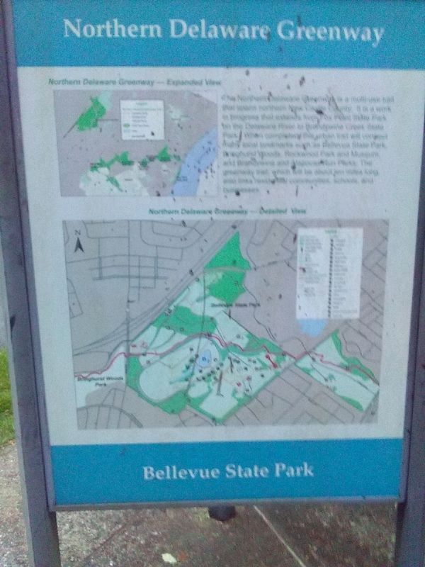
Location. 39° 46.583′ N, 75° 29.083′ W. Marker is near Bellefonte, Delaware, in New Castle County. Marker can be reached from Cauffiel Parkway south of Philadelphia Pike (Business U.S. 13), on the left when traveling south. The marker stands along the Cauffiel Park Trail, at Bellevue State Park. It, along with The Cauffiel House and Estate, forms 2/3 of 3-sided marker. Touch for map. Marker is at or near this postal address: 37 Stoney Run Road, Wilmington DE 19809, United States of America. Touch for directions.
Other nearby markers. At least 8 other markers are within walking distance of this marker. The Cauffiel House and Estate (within shouting distance of this marker); a different marker also named Cauffiel House and Estate (about 700 feet away, measured in a direct line); Mount Pleasant Methodist Episcopal (ME) Church and Parsonage (approx. 0.3 miles away); Mount Pleasant Methodist Episcopal Cemetery (approx. 0.3 miles away); William duPont, Jr. (approx. half a mile away); Bellevue Hosts Tennis Championships (approx. half a mile away); Margaret Osborne duPont (approx. half a mile away); Mount Pleasant School (approx. 0.6 miles away). Touch for a list and map of all markers in Bellefonte.
Credits. This page was last revised on February 11, 2024. It was originally submitted on January 15, 2011, by Nathan Davidson of Salisbury, Maryland. This page has been viewed 1,234 times since then and 44 times this year. Last updated on July 6, 2023, by Carl Gordon Moore Jr. of North East, Maryland. Photos: 1. submitted on January 15, 2011, by Nathan Davidson of Salisbury, Maryland. 2. submitted on February 11, 2024, by Devry Becker Jones of Washington, District of Columbia. 3. submitted on January 15, 2011, by Nathan Davidson of Salisbury, Maryland. 4. submitted on July 10, 2023, by Carl Gordon Moore Jr. of North East, Maryland. • Devry Becker Jones was the editor who published this page.


