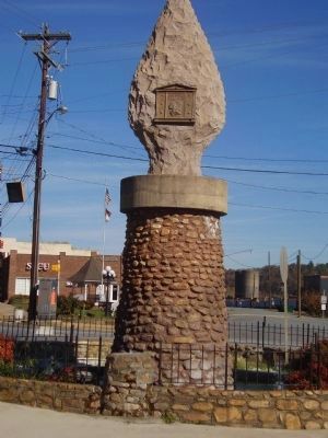
Old Fort in McDowell County, North Carolina — The American South (South Atlantic)
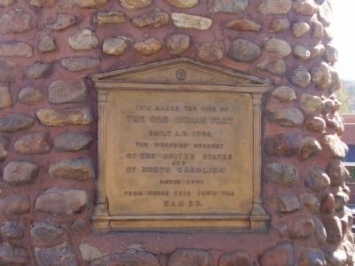
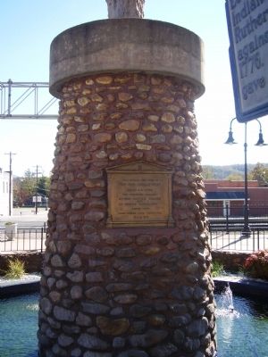
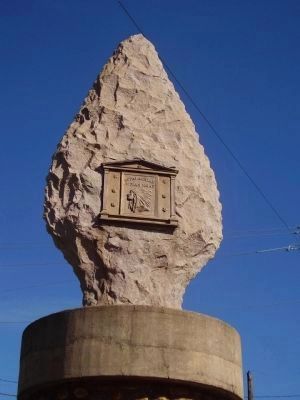
The Old Indian Fort
Topics. This historical marker is listed in these topic lists: Colonial Era • Forts and Castles • Native Americans. A significant historical year for this entry is 1756.
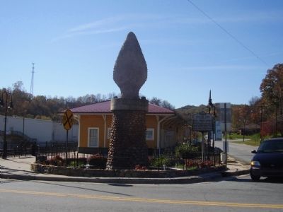
Location. 35° 37.743′ N, 82° 10.889′ W. Marker is in Old Fort, North Carolina, in McDowell County. Marker is at the intersection of Catawba Avenue and North Railroad Street on Catawba Avenue. Marker is located south of West Main Street (US Highway 70). Touch for map. Marker is in this post office area: Old Fort NC 28762, United States of America. Touch for directions.
Other nearby markers. At least 8 other markers are within 6 miles of this marker, measured as the crow flies. Frontier Fort (here, next to this marker); "What Happened To Our School?" (within shouting distance of this marker); Morgan Cabin (about 600 feet away, measured in a direct line); The Mountain Gateway Museum & Heritage Center (about 700 feet away); Stepp Cabin (about 700 feet away); Andrews Geyser (approx. 2.2 miles away); a different marker also named Andrews Geyser (approx. 3.7 miles away); Swannanoa Tunnel (approx. 5.1 miles away). Touch for a list and map of all markers in Old Fort.
Credits. This page was last revised on October 21, 2022. It was originally submitted on January 15, 2011, by Stanley and Terrie Howard of Greer, South Carolina. This page has been viewed 1,077 times since then and 25 times this year. Last updated on October 20, 2022, by Darren Jefferson Clay of Duluth, Georgia. Photos: 1, 2, 3, 4, 5. submitted on January 15, 2011, by Stanley and Terrie Howard of Greer, South Carolina. • Devry Becker Jones was the editor who published this page.
