East New Market in Dorchester County, Maryland — The American Northeast (Mid-Atlantic)
East New Market
Settled 1660 on North-South Choptank Indian Trail.
Inscription.
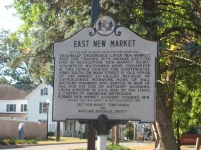
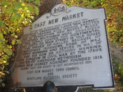
Originally “Crossroads,” later “New Market.” Post for trading with Indians erected 1767. In Revolution, “New Market Blues,” volunteer militiamen, were organized in this supply center for Continental army. South on Main Street is “Old House of the Hinges” so-called because of outbuildings ironwork. Home of Major Anthony Manning, who served in the War of 1812, and his son, Dr. Anthony Manning, Union surgeon in Civil War. By the 1780s, a center of American Methodism. Former New Market Academy founded 1818.
Erected by East New Market Town Council, Maryland Historical Society.
Topics. This historical marker is listed in these topic lists: Native Americans • War of 1812 • War, US Civil • War, US Revolutionary. A significant historical year for this entry is 1767.
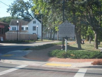
Location. 38° 35.937′ N, 75° 55.537′ W. Marker is in East New Market, Maryland, in Dorchester County. Marker is at the intersection of Main Street (Maryland Route 16) and Academy Street (Maryland Route 14), on the left when traveling north on Main Street. Touch for map. Marker is in this post office area: East New Market MD 21631, United States of America. Touch for directions.
Other nearby markers. At least 8 other markers are within 6 miles of this marker, measured as the crow flies. Friendship Hall (about 400 feet away, measured in a direct line); Friendship Trail (about 500 feet away); Faith Community UMC Church (approx. 0.6 miles away); My Lady Sewall’s Manor (approx. 1.6 miles away); Choptank Landing (approx. 5.9 miles away); Escape from Poplar Neck (approx. 5.9 miles away); The Maryland Lot (approx. 5.9 miles away); Choptank (approx. 5.9 miles away). Touch for a list and map of all markers in East New Market.
Also see . . . East New Market, Dorchester County, Maryland. The Comprehensive History of a small town on Maryland’s Eastern Shore. (Submitted on December 6, 2007.)
Additional commentary.
1. Correction to Information on the East New Market Historic Marker
Recently East New Market has been thoroughly researched an its history well documented. The research has revealed some inaccuracies stated on the marker at the center of town. There are not records that indicate that East New Market was ever known as Crossroads. The town grew along the Nanticoke Indian Path to the Choptank Indian Fort. Although trading among the European settlers and the Indians in this area took place in the late 1600s and early 1700s, there is no evidence of a post for trading
being erected in 1767. Almost all Indians had left this area by that time. The rest of the text on the market is accurate. See the “Also See” link above for more information.
— Submitted December 6, 2007, by Frank Collins of East New Market, Maryland.
Credits. This page was last revised on March 21, 2020. It was originally submitted on December 4, 2007, by F. Robby of Baltimore, Maryland. This page has been viewed 1,790 times since then and 26 times this year. Photos: 1. submitted on September 5, 2013, by F. Robby of Baltimore, Maryland. 2, 3. submitted on December 4, 2007, by F. Robby of Baltimore, Maryland. 4. submitted on September 5, 2013, by F. Robby of Baltimore, Maryland.


