Stony Creek in Sussex County, Virginia — The American South (Mid-Atlantic)
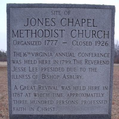
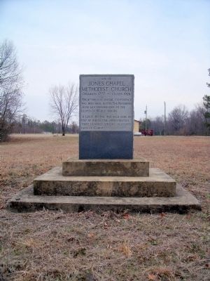
Jones Chapel Methodist Church
Jones Chapel
Methodist Church
Organized 1777 – Closed 1926
The 16th Virginia Annual Conference
was held here in 1799. The Reverend
Jesse Lee presided due to the
illness of Bishop Asbury.
A great revival was held here in
1787 at which time approximately
Three hundred persons professed
faith in Christ.
Topics. This historical marker is listed in this topic list: Churches & Religion. A significant historical year for this entry is 1777.
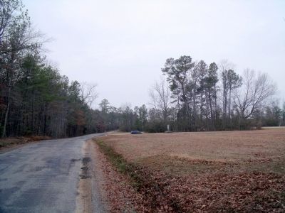
Location. 36° 52.239′ N, 77° 23.789′ W. Marker is in Stony Creek, Virginia, in Sussex County. Marker is at the intersection of Comans Well Road (Virginia Route 642) and Tyus Lane, on the right when traveling west on Comans Well Road. Touch for map. Marker is in this post office area: Stony Creek VA 23882, United States of America. Touch for directions.
Other nearby markers. At least 8 other markers are within 8 miles of this marker, measured as the crow flies. Nottoway River Crossings (approx. 2 miles away); Hunting Quarter Baptist Church (approx. 3.3 miles away); History At Stony Creek (approx. 5.2 miles away); Old Halifax Road (approx. 5˝ miles away); Jarratt's Station (approx. 5.6 miles away); Sappony Church (approx. 6.1 miles away); Sussex County Courthouse (approx. 7.2 miles away); Sussex County War Memorial (approx. 7.2 miles away). Touch for a list and map of all markers in Stony Creek.
Also see . . . Sussex County, Virginia Historical Society. (Submitted on January 18, 2011.)
Credits. This page was last revised on November 14, 2021. It was originally submitted on January 18, 2011, by Bernard Fisher of Richmond, Virginia. This page has been viewed 639 times since then and 16 times this year. Photos: 1, 2, 3. submitted on January 18, 2011, by Bernard Fisher of Richmond, Virginia.


