Munfordville in Hart County, Kentucky — The American South (East South Central)
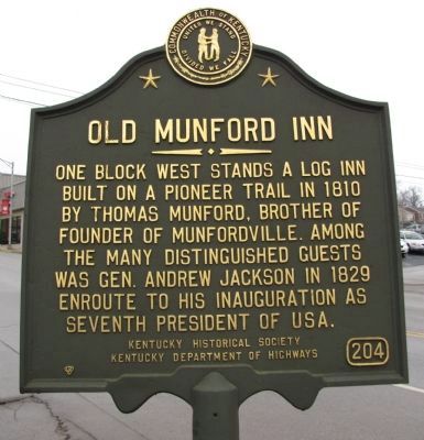
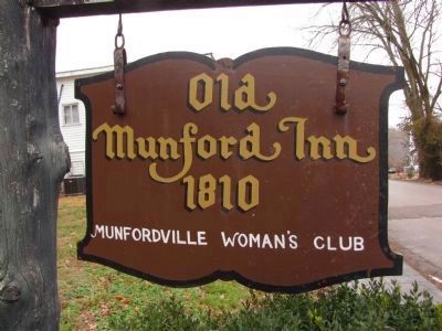
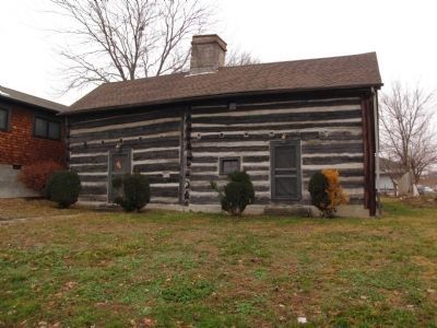
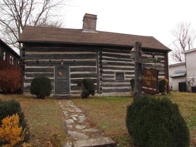
Old Munford Inn
Erected by Kentucky Historical Society , Kentucky Department of Highways. (Marker Number 204.)
Topics and series. This historical marker is listed in these topic lists: Government & Politics • Industry & Commerce • Roads & Vehicles • Settlements & Settlers. In addition, it is included in the Former U.S. Presidents: #07 Andrew Jackson, and the Kentucky Historical Society series lists. A significant historical year for this entry is 1810.
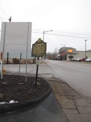
Location. 37° 16.232′ N, 85° 53.331′ W. Marker is in Munfordville, Kentucky, in Hart County. Marker is at the intersection of Dixie Highway / Main Street (U.S. 31W) and Old Street, on the right when traveling south on Dixie Highway / Main Street. Touch for map. Marker is in this post office area: Munfordville KY 42765, United States of America. Touch for directions.
Other nearby markers. At least 8 other markers are within walking distance of this marker. Thelma Hawkins Stovall (within shouting distance of this marker); Hart County One-Room Schools (about 500 feet away, measured in a direct line); Civil War Monument (about 500 feet away); Munfordville in the Civil War (about 500 feet away); A Remarkable Kentucky Family (about 500 feet away); L&N Railroad Bridge (about 500 feet away); Carter-Dowling School / Teachers at "Colored" Elementary Schools of Hart County Circa 1950 (about 600 feet away); Hart County (about 600 feet away). Touch for a list and map of all markers in Munfordville.
Credits. This page was last revised on September 20, 2020. It was originally submitted on January 31, 2011, by Lee Hattabaugh of Capshaw, Alabama. This page has been viewed 997 times since then and 48 times this year. Photos: 1, 2, 3, 4, 5. submitted on January 31, 2011, by Lee Hattabaugh of Capshaw, Alabama. • Bernard Fisher was the editor who published this page.
