Abbeville in Wilcox County, Georgia — The American South (South Atlantic)
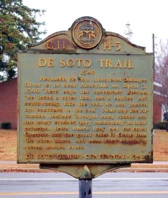
De Soto Trail
1540
Hernando de Soto discovered Ocmulgee River at or near Abbeville on April 3, 1540. “Here,” says the chronicler Biedma, “we found a river that had a course not southwardly, like the rest we had passed, but eastward to the sea.” Next day the Altamaha Indians “brought many canoes and the army crossed very comfortably” to their principal town where they met its chief Camumo and the great chief of Ocute from the river above, and here they created a second wooden cross.
De Soto Quadri-Centennial-1940
Erected 1940 by Works Progress Administration (WPA). (Marker Number 11 H-5.)
Topics and series. This historical marker is listed in these topic lists: Exploration • Native Americans. In addition, it is included in the Georgia Historical Society, and the Works Progress Administration (WPA) projects series lists. A significant historical month for this entry is April 1915.
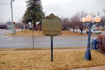
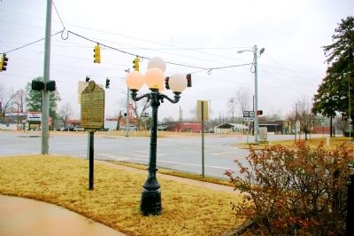
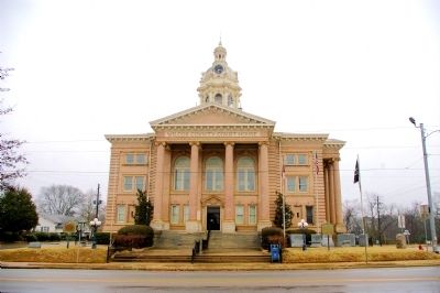
Location. 31° 59.551′ N, 83° 18.406′ W. Marker is in Abbeville, Georgia, in Wilcox County. Marker is at the intersection of North Broad Street (U.S. 129) and East Main Street (U.S. 280), on the left when traveling south on North Broad Street. The marker stands in front of the Wilcox County Courthouse. Touch for map. Marker is at or near this postal address: 103 North Broad Street, Abbeville GA 31001, United States of America. Touch for directions.
Other nearby markers. At least 8 other markers are within 10 miles of this marker, measured as the crow flies. Jefferson Davis Camp Site (here, next to this marker); Jefferson Davis (a few steps from this marker); a different marker also named Jefferson Davis (a few steps from this marker); Wilcox County (a few steps from this marker); Wilcox County Confederate Monument (within shouting distance of this marker); New Hope Primitive Baptist Church (approx. 2 miles away); Battle of Breakfast Branch (approx. 4.2 miles away); Braziel's Old Store (approx. 9.2 miles away). Touch for a list and map of all markers in Abbeville.
Also see . . . Hernando de Soto in Georgia. New Georgia Encyclopedia website entry (Submitted on February 5, 2011.)
Credits. This page was last revised on November 1, 2021. It was originally submitted on February 5, 2011, by David Seibert of Sandy Springs, Georgia. This page has been viewed 963 times since then and 35 times this year. Photos: 1, 2, 3, 4. submitted on February 5, 2011, by David Seibert of Sandy Springs, Georgia. • Bernard Fisher was the editor who published this page.


