Near Jackson in Butts County, Georgia — The American South (South Atlantic)
Sherman’s Right At Indian Springs
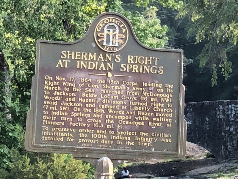
Inscription.
On Nov. 17, 1864, the 15th Corps, leading the Right Wing of Gen. Sherman's army (US) on its March to the Sea. marched from McDonough to Jackson. Below Locust Grove (16 mi. NW), Woods' and Hazen's divisions turned right to avoid Jackson and camped at Liberty Church (7 mi. SW). On the 18th, Woods and Hazen moved to Indian Springs and encamped while waiting their turn to cross the Ocmulgee River at Planters' Factory (6.5 mi. E). To preserve order and to protect the civilian inhabitants, the 100th Indiana Infantry was detailed for provost duty in the town.
Erected 1957 by Georgia Historical Commission. (Marker Number 018-6.)
Topics and series. This historical marker is listed in this topic list: War, US Civil. In addition, it is included in the Georgia Historical Society, and the Sherman’s March to the Sea series lists. A significant historical month for this entry is October 1755.
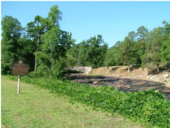
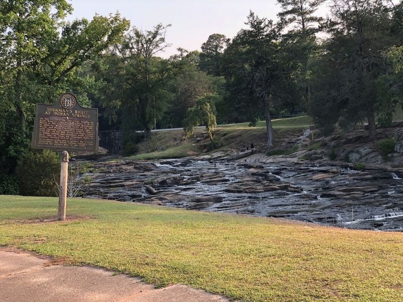
Location. 33° 14.814′ N, 83° 55.23′ W. Marker is near Jackson, Georgia, in Butts County. Marker is on Highway 42, on the right when traveling south. Take Hwy 42 South from Jackson, Georgia. Marker is on right 3.5 miles at Indian Srings. Touch for map. Marker is in this post office area: Flovilla GA 30216, United States of America. Touch for directions.
Other nearby markers. At least 5 other markers are within walking distance of this marker. Indian Springs State Park (about 400 feet away, measured in a direct line); Indian Spring (about 500 feet away); William McIntosh (approx. 0.2 miles away); Indian Springs (approx. 0.2 miles away); “Idlewilde” (approx. 0.2 miles away).
Also see . . . Sherman’s March to the Sea. New Georgia Encyclopedia website entry (Submitted on February 21, 2022, by Larry Gertner of New York, New York.)
Credits. This page was last revised on July 1, 2023. It was originally submitted on June 22, 2006, by Donald D. Daniel of Forsyth, Georgia. This page has been viewed 3,126 times since then and 31 times this year. Photos: 1. submitted on June 30, 2023, by Duane and Tracy Marsteller of Murfreesboro, Tennessee. 2. submitted on June 22, 2006, by Donald D. Daniel of Forsyth, Georgia. 3. submitted on June 30, 2023, by Duane and Tracy Marsteller of Murfreesboro, Tennessee. • J. J. Prats was the editor who published this page.


