Page in Coconino County, Arizona — The American Mountains (Southwest)
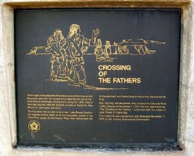
Crossing of the Fathers
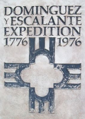
Dominguez y Escalante Expedition 1776-1976
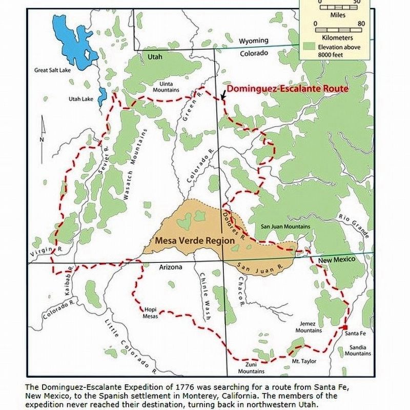
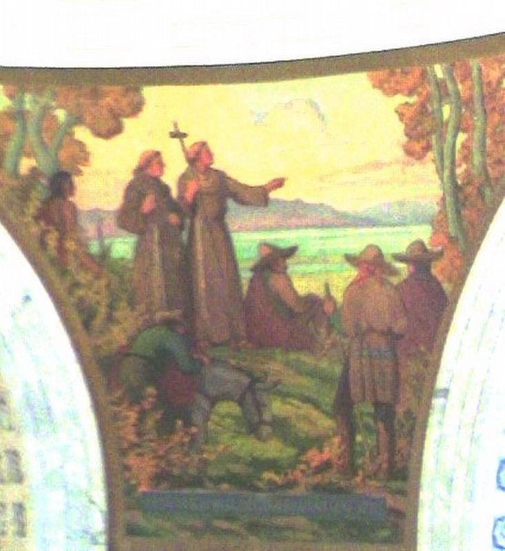
Within sight of this place the Franciscan priests Dominguez and Escalante and their ten companions experienced two of the most difficult challenges among many along the 1,800 miles of their epic journey from the Spanish presidio at Santa Fe, New Mexico to Utah Lake and return.
The first white men to enter what is now "Lake Powell Country" the explorer-priests made an all but impossible ascent of the Paria River gorge via Dominguez Pass, then descended into Wahweap Basin and Padre Canyon where they discovered Ute Ford.
Sick, starving, and desperate, they crossed the Colorado River in Glen Canyon on November 7, 1776. The ford, later known as "The Crossing of the Fathers," is now beneath the waters of Lake Powell in Padre Bay.
This memorial was placed here and dedicated November 7, 1976 by the Arizona Bicentennial Commission.
Erected 1976 by John Wesley Powell Memorial Museum and Arizona Bicentennial Commission.
Topics and series. This historical marker is listed in these topic lists: Churches & Religion • Exploration • Hispanic Americans. In addition, it is included in the Dominguez y Escalante Expedition, and the The Spirit of ’76, America’s Bicentennial Celebration series lists. A significant historical month for this entry is November 1869.
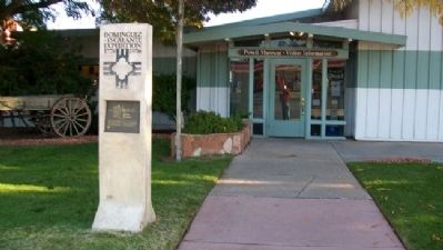
Location. 36° 55.156′ N, 111° 27.605′ W. Marker is in Page, Arizona, in Coconino County. Marker is at the intersection of Lake Powell Boulevard and Navajo Drive, on the right when traveling north on Lake Powell Boulevard. Marker is at the John Wesley Powell Memorial Museum. Touch for map. Marker is at or near this postal address: 6 North Lake Powell Boulevard, Page AZ 86040, United States of America. Touch for directions.
Other nearby markers. At least 8 other markers are within 2 miles of this marker, measured as the crow flies. Saurischia Dinosaur Tracks (a few steps from this marker); Emma Dean (a few steps from this marker); Major John Wesley Powell (approx. 1.8 miles away); Glen Canyon Dam (approx. 1.8 miles away); Dinosaur Tracks (approx. 1.8 miles away); Bureau of Reclamation Memorial Fountain (approx. 1.8 miles away); Glen Canyon Bridge / Cableways (approx. 1.9 miles away); Wicket Gates (approx. 1.9 miles away). Touch for a list and map of all markers in Page.
Regarding Crossing of the Fathers. See also Ted J. Warner, The Dominguez-Escalante Journal: Their Expedition Through Colorado, Utah, Arizona, and New Mexico in 1776 (Salt Lake City: University of Utah Press, 1995).
Related marker. Click here for another marker that is related to this marker. Another Expedition marker along the trail.
Also see . . .
1. Domínguez–Escalante expedition. Wikipedia entry (Submitted on December 2, 2019.)
2. Crossing of the Fathers. Intermountain Histories website entry (Submitted on December 2, 2019.)
3. John Wesley Powell River History Museum. Museum website homepage (Submitted on February 16, 2011, by William Fischer, Jr. of Scranton, Pennsylvania.)

Photographed By Larry Gertner, June 14, 2021
4. 1776: The Dominguez-Escalante Expedition
Utah website entry
Click for more information.
Click for more information.
Credits. This page was last revised on June 14, 2021. It was originally submitted on February 16, 2011, by William Fischer, Jr. of Scranton, Pennsylvania. This page has been viewed 3,571 times since then and 109 times this year. Photos: 1, 2, 3. submitted on February 16, 2011, by William Fischer, Jr. of Scranton, Pennsylvania. 4. submitted on June 14, 2021, by Larry Gertner of New York, New York. 5, 6. submitted on April 19, 2021, by Larry Gertner of New York, New York.
