Cockburn Town in Grand Turk, Turks and Caicos Islands, British Overseas Territories — North Atlantic Ocean
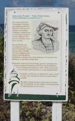
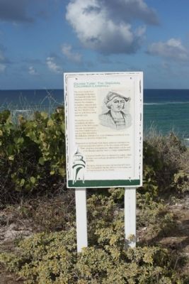
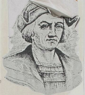
Grand Turk: The Original Columbus Landfall ?
Recent theories and recreations of what is known of the first voyage may have landed in present-day San Salvador in the Bahamas, Samana Cay in the Bahamas, Cat Island in the Bahamas, or, possibly Grand Turk.
Proponents of the Grand Turk theory point to similarities between recorded descriptions of the first island and Grand Turk, including that numerous other islands can be seen in the distance and that there is a large natural harbor.
Computer models have re-charted his course, which in some cases indicate an arrival at Grand Turk is possible.
We likely will never know the location of Columbus's first landfall, but the subject is fascinating and important part of our history.
Topics. This historical marker is listed in this topic list: Notable Events. A significant historical year for this entry is 1492.
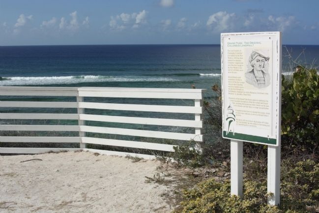
Location. 21° 30.721′ N, 71° 8.024′ W. Marker is in Cockburn Town, Turks and Caicos Islands, in Grand Turk. Marker is on Lighthouse Road, on the right when traveling north. Located at northern terminus of Lighthouse Road at Lookout Point . Touch for map. Marker is in this post office area: Cockburn Town, Turks and Caicos Islands 00109-9000, British Overseas Territories. Touch for directions.
Other nearby markers. At least 8 other markers are within 5 kilometers of this marker, measured as the crow flies. Horatio Nelson Lookout Point (a few steps from this marker); The Northeast Reef (a few steps from this marker); Trouvadore Shipwreck (within shouting distance of this marker); Grand Turk Historic Lighthouse (within shouting distance of this marker); a different marker also named Grand Turk Historic Lighthouse (within shouting distance of this marker); U.S. Naval Facility (about 90 meters away, measured in a direct line); Lighthouse Keeper's Residence & Bermuda Kitchen (about 90 meters away); The History of the West (approx. 4.8 kilometers away). Touch for a list and map of all markers in Cockburn Town.
Credits. This page was last revised on June 16, 2016. It was originally submitted on February 27, 2011, by Mike Stroud of Bluffton, South Carolina. This page has been viewed 1,507 times since then and 79 times this year. It was the Marker of the Week August 2, 2015. Photos: 1, 2, 3, 4. submitted on February 27, 2011, by Mike Stroud of Bluffton, South Carolina. • Bill Pfingsten was the editor who published this page.


