Bowling Green in Warren County, Kentucky — The American South (East South Central)
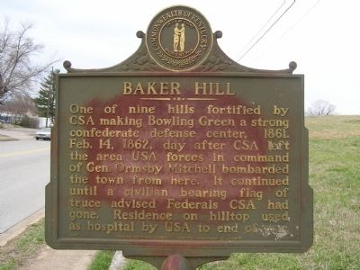
Baker Hill
Erected 1967 by KY Historical Society, KY Dept. of Highways. (Marker Number 1049.)
Topics and series. This historical marker is listed in these topic lists: Forts and Castles • War, US Civil. In addition, it is included in the Kentucky Historical Society series list. A significant historical date for this entry is February 18, 1861.
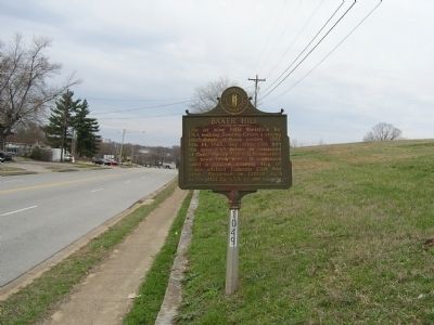
Location. 37° 0.307′ N, 86° 25.224′ W. Marker is in Bowling Green, Kentucky, in Warren County. Marker is on Old Louisville Road. Touch for map. Marker is in this post office area: Bowling Green KY 42101, United States of America. Touch for directions.
Other nearby markers. At least 8 other markers are within walking distance of this marker. College Street Bridge (approx. 0.6 miles away); Western Kentucky University (approx. 0.6 miles away); The Barren River (approx. 0.6 miles away); The Bridge (approx. 0.7 miles away); Bowling Green & Warren County (approx. 0.7 miles away); The Limestone Bluffs (approx. 0.7 miles away); The Civil War in Bowling Green (approx. 0.7 miles away); Defending the L&N Railroad (approx. 0.7 miles away). Touch for a list and map of all markers in Bowling Green.
Credits. This page was last revised on June 16, 2016. It was originally submitted on March 8, 2011, by Chad Comer of Gamaliel, Kentucky. This page has been viewed 1,856 times since then and 124 times this year. Photos: 1, 2. submitted on March 8, 2011, by Chad Comer of Gamaliel, Kentucky. • Craig Swain was the editor who published this page.

