Cockburn Town in Grand Turk, Turks and Caicos Islands, British Overseas Territories — North Atlantic Ocean
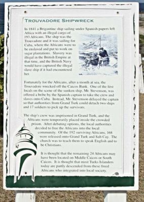
Trouvadore Shipwreck
Fortunately for the Africans, after a month at sea, the Trouvadore wrecked off the Caicos Bank. One of the first locals on the scene of the sunken ship, Mr. Stevenson, was offered a bribe by the Spanish captain to take the crew and slaves to Cuba. Instead, Mr. Stevenson delayed the captain so that authorities from Grand Turk could detach two ships and 17 soldiers to pick up the survivors.
The ship's crew was imprisoned in Grand Turk, and the Africans were temporarily placed inside the crowded prison. After debating options, the local authorities decided to free the Africans into the local community. Of the 192 surving Africans, 168 were released onto Grand Turk and Salt Cay. The church was to teach them to speak English and to be Christians.
It is thought that the remaining 24 Africans may have been located on Middle Caicos or South Caicos. It is thought that most Turks Islanders today are partly descended from these freed Africans who integrated into local society.
Topics. This historical marker is listed in this topic list: Notable Events. A significant historical year for this entry is 1841.
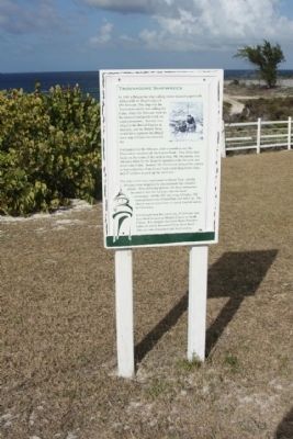
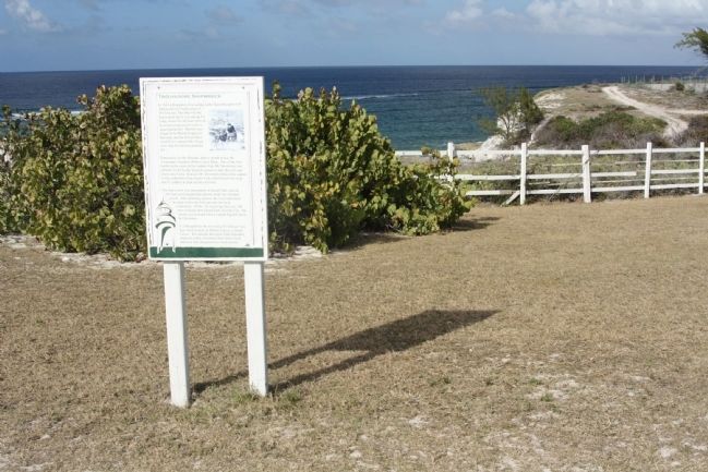
Location. 21° 30.729′ N, 71° 7.998′ W. Marker is in Cockburn Town, Turks and Caicos Islands, in Grand Turk. Marker is on Lighthouse Road, on the right. Located at northern terminus of Lighthouse Road at Lookout Point . Touch for map. Marker is in this post office area: Cockburn Town, Turks and Caicos Islands 00109-9000, British Overseas Territories. Touch for directions.
Other nearby markers. At least 8 other markers are within 5 kilometers of this marker, measured as the crow flies. The Northeast Reef (within shouting distance of this marker); Grand Turk: The Original Columbus Landfall ? (within shouting distance of this marker); U.S. Naval Facility (within shouting distance of this marker); Horatio Nelson Lookout Point (within shouting distance of this marker); Grand Turk Historic Lighthouse (within shouting distance of this marker); Lighthouse Keeper's Residence & Bermuda Kitchen (within shouting distance of this marker); a different marker also named Grand Turk Historic Lighthouse (about 90 meters away, measured in a direct line); The History of the West (approx. 4.8 kilometers away). Touch for a list and map of all markers in Cockburn Town.
Regarding Trouvadore Shipwreck. Originally the brigantine was a small ship carrying both oars and sails. It was a favorite of Mediterranean pirates
Also see . . . The Trouvadore was a Spanish slave ship , Wikipedia entry. The Authorities dispatched British soldiers to secure the crew and bring all back to Grand Turk whilst a decision was made on their future. Residents from Middle Caicos had disarmed the Spanish crew so when Lt. Fitzgerald arrived with his men there was no need for force. The ships crew were arrested. East Caicos was a large deserted Island in 1841. The initial assistance came from residents from the neighbouring Island of Middle Caicos, who also got news of the wrecking to the authorities on the Island of Grand Turk, the political capital of the Turks and Caicos (Submitted on March 9, 2011, by Mike Stroud of Bluffton, South Carolina.)
Credits. This page was last revised on October 6, 2021. It was originally submitted on March 9, 2011, by Mike Stroud of Bluffton, South Carolina. This page has been viewed 1,044 times since then and 35 times this year. Photos: 1, 2, 3. submitted on March 9, 2011, by Mike Stroud of Bluffton, South Carolina.


