Near Wheatland in Yuba County, California — The American West (Pacific Coastal)
The Graham Hotel
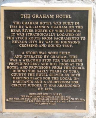
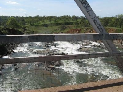
The Graham Hotel was built in 1853 by Williamson Graham on the Bear River north of Wire Bridge. It was strategically located on the stage route from Sacramento to Nevada City by way of Johnsons Crossing and Round Tent.
A store was soon built and operated by Graham. This was a welcome stop for travelers providing rest and hot food at the hotel and provisions from the store. During the early years of Yuba County the hotel served as both meeting place for the local inhabitants and a courtroom for circuit judges. It was abandoned by 1879.
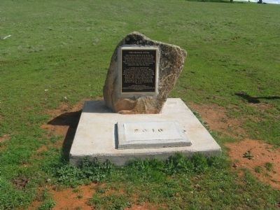
Erected 2010 by Wheatland Historical Society, Wm. Bull Meek-Wm. Morris Stewart & Lord Sholto Douglas Chapters, E Clampus Vitus.
Topics and series. This historical marker is listed in this topic list: Industry & Commerce. In addition, it is included in the E Clampus Vitus series list. A significant historical year for this entry is 1853.
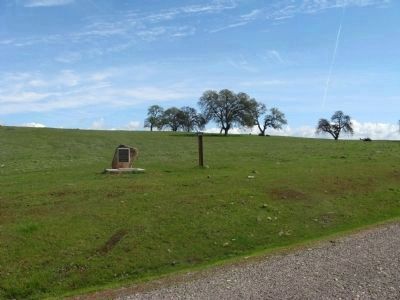
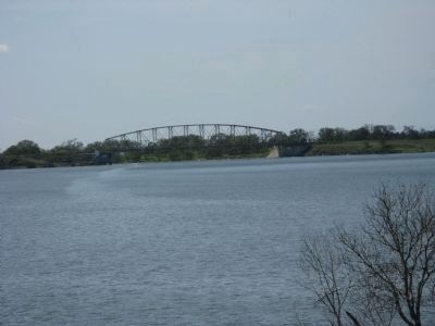
Location. 39° 3.74′ N, 121° 18.618′ W. Marker is near Wheatland, California, in Yuba County. Marker is on Camp Far West Road, on the left when traveling south. Marker is located on the North Gate road entrance to Camp Far West Lake. Touch for map. Marker is in this post office area: Wheatland CA 95692, United States of America. Touch for directions.
Other nearby markers. At least 8 other markers are within 8 miles of this marker, measured as the crow flies. Truckee Trail – To Johnson Ranch (here, next to this marker); Overland Emigrant Trail (approx. 4.3 miles away); Sheridan Cemetery (approx. 6.6 miles away); Union Shed (approx. 6.7 miles away); Durst Hop Ranch (approx. 6.8 miles away); Johnson's Ranch (approx. 7 miles away); Holland House (approx. 7.1 miles away); Chinese Pyre (approx. 7.8 miles away). Touch for a list and map of all markers in Wheatland.
Credits. This page was last revised on August 25, 2022. It was originally submitted on March 11, 2011, by Syd Whittle of Mesa, Arizona. This page has been viewed 1,095 times since then and 51 times this year. Photos: 1, 2, 3, 4, 5. submitted on March 11, 2011, by Syd Whittle of Mesa, Arizona.
