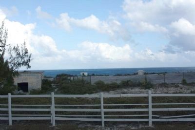
Cockburn Town in Grand Turk, Turks and Caicos Islands, British Overseas Territories — North Atlantic Ocean
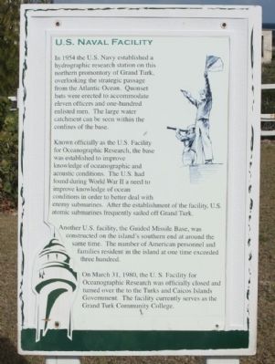
U.S. Naval Facility
— Grand Turk —
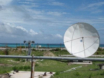
Known officially as the U.S. Facility for Oceanographic Research, the base was established to improve knowledge of oceanographic and acoustic conditions. The U.S. had found during World War II a need to improve knowledge of ocean conditions in order to better deal with enemy submarines. After the establishment of the facility, U.S. atomic submarines frequently sailed off Grand Turk.
Another U.S. facility, the Guided Missle Base, was constructed on the island's southern end at around the same time. The number of American personnel and families resident in the island at one time exceeded three hundred.
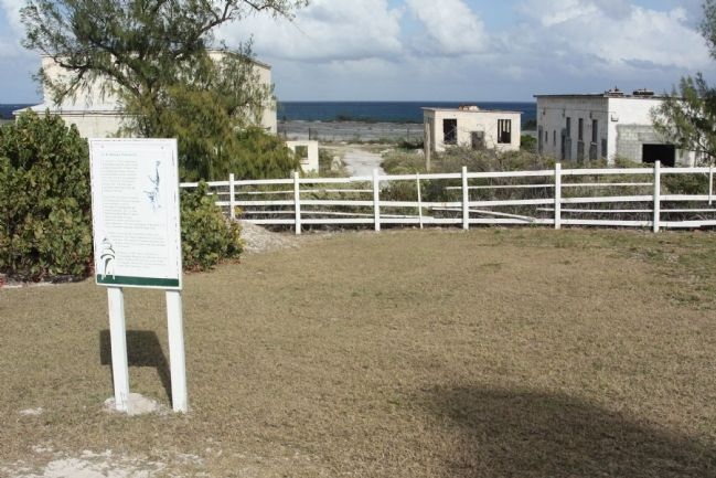
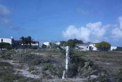
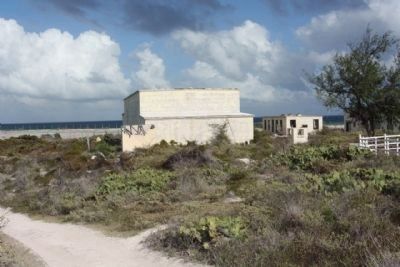
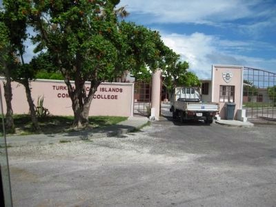
On March 31, 1980, the U.S. Facility for Oceanographic Research was officially closed and turned over to the Turks and Caicos Islands Government. The facility currently serves as the Grand Turk Community College.
Topics. This historical marker is listed in these topic lists: Exploration • Science & Medicine • Waterways & Vessels. A significant historical month for this entry is March 2006.
Location. 21° 30.738′ N, 71° 7.972′ W. Marker is in Cockburn Town, Turks and Caicos Islands, in Grand Turk. Marker is on Lighthouse Road, on the right. Located at northern terminus of Lighthouse Road at Lookout Point . Touch for map. Marker is in this post office area: Cockburn Town, Turks and Caicos Islands 00109-9000, British Overseas Territories. Touch for directions.
Other nearby markers. At least 8 other markers are within 5 kilometers of this marker, measured as the crow flies. Trouvadore Shipwreck (within shouting distance of this marker); Lighthouse Keeper's Residence & Bermuda Kitchen (within shouting distance of this marker); The Northeast Reef (within shouting distance of this marker); Grand Turk: The Original Columbus Landfall ? (about 90 meters away, measured in a direct line); Grand Turk Historic Lighthouse (about 90 meters away); Horatio Nelson Lookout Point (about 90 meters away); a different marker also named Grand Turk Historic Lighthouse (about 120 meters away); The History of the West (approx. 4.8 kilometers away). Touch for a list and map of all markers in Cockburn Town.
Regarding U.S. Naval Facility. Historically, the term hydrography has meant the scientific study of the physical conditions of systems of water. Within the field of physical oceanography, hydrography is the branch of our field which looks to understand the movements of the ocean through its measurable physical properties,
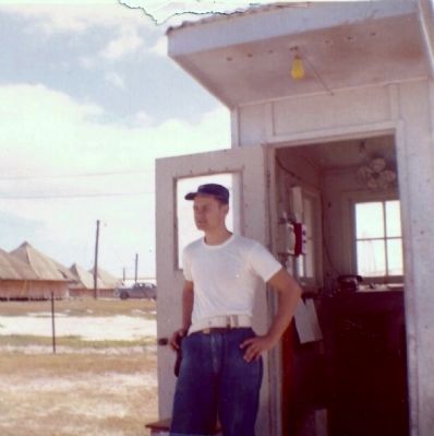
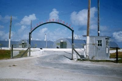
Photographed By Donald Barry Ratsch, circa 1958
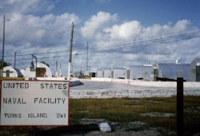
2. U.S. Naval Facility 1958 at the gate
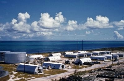
That's me at the watch gate while waiting for my clearance to come thru. After clearance came thru I worked down the hill in the Quonset hut where the sonar men worked and with their advanced equipment could detect Russian submarines 1500 miles away and could tell how many rpms their propellers were turning. When spotting a target they put the info and location of the target thru a slot that dropped into the crypto room where I worked and we encrypted the information and sent it forward to Norfolk, Va. The work was classified secret at the time and was later upgraded to top secret. That was 56 years ago.
chemical constituents such as phosphates, silicates, **CFC's, tritium and helium. ( Oregon State University )
**chlorofluorocarbon (CFC)
Credits. This page was last revised on June 16, 2016. It was originally submitted on March 12, 2011, by Mike Stroud of Bluffton, South Carolina. This page has been viewed 5,063 times since then and 116 times this year. Photos: 1. submitted on March 13, 2011, by Mike Stroud of Bluffton, South Carolina. 2. submitted on November 11, 2014, by Donald Barry Ratsch of Dundalk, Maryland. 3. submitted on March 13, 2011, by Mike Stroud of Bluffton, South Carolina. 4, 5, 6. submitted on May 31, 2011, by Max Henke of Topsham, Maine. 7. submitted on March 13, 2011, by Mike Stroud of Bluffton, South Carolina. 8. submitted on March 18, 2011, by Bobby G. Bristoe of Bloomington, Indiana. 9. submitted on June 4, 2011, by Glenn Sheffield of Tampa, Florida. 10, 11. submitted on March 13, 2011, by Mike Stroud of Bluffton, South Carolina. 12. submitted on June 4, 2011, by Glenn Sheffield of Tampa, Florida.
