Centreville in Fairfax County, Virginia — The American South (Mid-Atlantic)
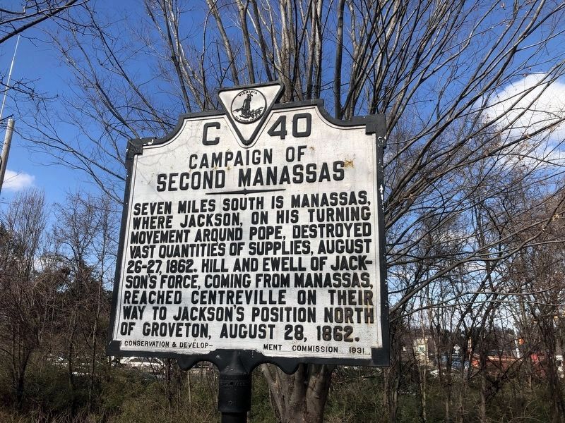
Campaign of Second Manassas
Erected 1931 by the Conservation & Development Commission. (Marker Number C-40.)
Topics and series. This historical marker is listed in this topic list: War, US Civil. In addition, it is included in the Virginia Department of Historic Resources (DHR) series list. A significant historical year for this entry is 1862.
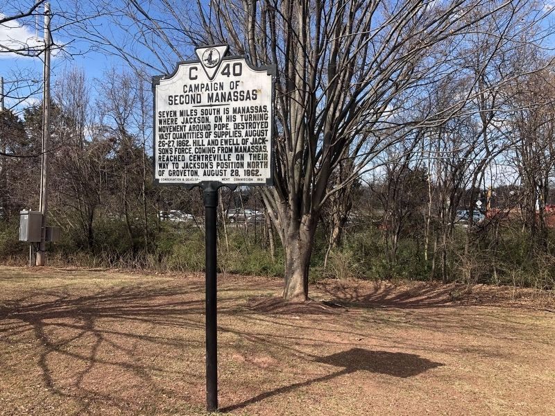
Location. 38° 50.275′ N, 77° 26.485′ W. Marker is in Centreville, Virginia, in Fairfax County. Marker is at the intersection of Machen Road and U.S. 29, on the right when traveling south on Machen Road. This and three other markers are on the Centreville Public Library grounds. Touch for map. Marker is at or near this postal address: 14200 St Germain Dr, Centreville VA 20120, United States of America. Touch for directions.
Other nearby markers. At least 5 other markers are within walking distance of this marker. Confederate Defenses (here, next to this marker); Second Battle of Manassas (here, next to this marker); First Battle of Manassas (a few steps from this marker); Mystery Of The Centreville Six (approx. half a mile away); Old Stone Church (approx. 0.7 miles away). Touch for a list and map of all markers in Centreville.
More about this marker. This marker was originally erected on Route 211 in Centreville. Route 211 became Route 29/211, and finally just plain Route 29. It was moved to the Centreville Public Library grounds when Route 29 was widened in the 1990s.
Related markers. Click here for a list of markers that are related to this marker. To better understand the relationship, study each marker in the order shown.
Also see . . . Chronology of the Second Manassas Campaign. (Submitted on June 25, 2006.)
Credits. This page was last revised on July 7, 2021. It was originally submitted on June 25, 2006, by Tom Fuchs of Greenbelt, Maryland. This page has been viewed 2,050 times since then and 33 times this year. Photos: 1, 2. submitted on March 6, 2021, by Devry Becker Jones of Washington, District of Columbia. • J. J. Prats was the editor who published this page.

