Centreville in Fairfax County, Virginia — The American South (Mid-Atlantic)
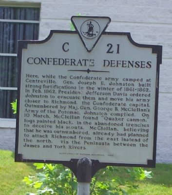
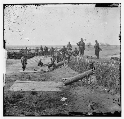
Confederate Defenses
Erected 1999 by the Department of Historic Resources. (Marker Number C-21.)
Topics and series. This historical marker is listed in these topic lists: Forts and Castles • War, US Civil. In addition, it is included in the Virginia Department of Historic Resources (DHR) series list. A significant historical month for this entry is February 1862.
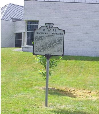
Location. 38° 50.275′ N, 77° 26.485′ W. Marker is in Centreville, Virginia, in Fairfax County. Marker is at the intersection of Machen Road and U.S. 29, on the right when traveling south on Machen Road. This and three other markers are on the Centreville Public Library grounds. Touch for map. Marker is at or near this postal address: 14200 St Germain Dr, Centreville VA 20120, United States of America. Touch for directions.
Other nearby markers. At least 5 other markers are within walking distance of this marker. Campaign of Second Manassas (here, next to this marker); Second Battle of Manassas (here, next to this marker); First Battle of Manassas (a few steps from this marker); Mystery Of The Centreville Six (approx. half a mile away); Old Stone Church (approx. 0.7 miles away). Touch for a list and map of all markers in Centreville.
More about this marker. This marker replaces a circa 1920–1930 marker with the same number that was originally erected on Route 211 in Centreville. Route 211 became Route 29/211, and finally just plain Route 29. The original marker's text was different. It read:
“Here Joseph E. Early built fortifications in the winter of 1861–62 while the Confederate army was camped at Centreville. These strong works led McClellan in the spring of 1862 to attack Richmond from the York-James peninsula instead of from the north.”
Credits. This page was last revised on July 7, 2021. It was originally submitted on June 25, 2006, by Tom Fuchs of Greenbelt, Maryland. This page has been viewed 2,220 times since then and 29 times this year. Photos: 1, 2. submitted on June 25, 2006, by Tom Fuchs of Greenbelt, Maryland. 3. submitted on February 24, 2008. • J. J. Prats was the editor who published this page.
Editor’s want-list for this marker. Photo of original marker. • Can you help?


