Near Eggleston in Giles County, Virginia — The American South (Mid-Atlantic)
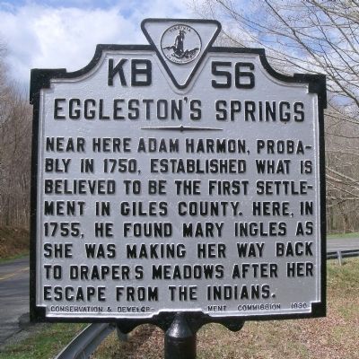
Eggleston's Springs
Erected 1930 by Conservation & Development Commission. (Marker Number KB-56.)
Topics and series. This historical marker is listed in these topic lists: Native Americans • Settlements & Settlers. In addition, it is included in the Virginia Department of Historic Resources (DHR) series list. A significant historical year for this entry is 1750.
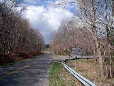
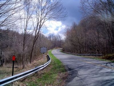
Location. 37° 17.294′ N, 80° 36.48′ W. Marker is near Eggleston, Virginia, in Giles County. Marker is at the intersection of Eggleston Road (Virginia Route 730) and Cliffview Street (Virginia Route 612), on the right when traveling west on Eggleston Road. Touch for map. Marker is in this post office area: Pembroke VA 24136, United States of America. Touch for directions.
Other nearby markers. At least 8 other markers are within 8 miles of this marker, measured as the crow flies. Camp John J. Pershing (approx. 2.6 miles away); Snidow Pioneers (approx. 2.8 miles away); Snidow's Ferry (approx. 4.7 miles away); Mountain Evangelist (approx. 6.4 miles away); Giles County / Montgomery County (approx. 7.1 miles away); Revolutionary War Soldiers of Giles County (approx. 7˝ miles away); Old-Fashioned Camp Meeting (approx. 7˝ miles away); Giles County War Memorial (approx. 7˝ miles away).
Related markers. Click here for a list of markers that are related to this marker. This sequence of markers show Mary Ingle’s journey from her capture to her return.
Credits. This page was last revised on November 5, 2021. It was originally submitted on April 4, 2011, by Bernard Fisher of Richmond, Virginia. This page has been viewed 1,108 times since then and 85 times this year. Photos: 1, 2, 3. submitted on April 4, 2011, by Bernard Fisher of Richmond, Virginia.


