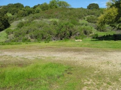
Almaden in San Jose in Santa Clara County, California — The American West (Pacific Coastal)
El Senador Mine
The Most Productive of New Almaden’s “Outside Mines”
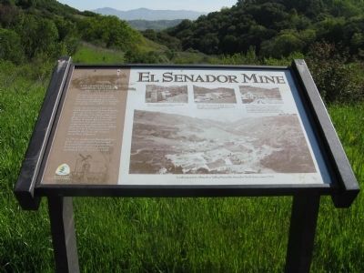
Photographed By Syd Whittle, March 28, 2011
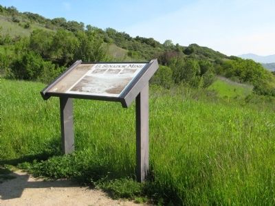
1. El Senador Mine Marker
Photo Captions:
Upper Left:
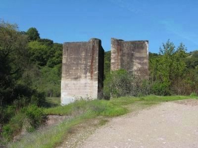
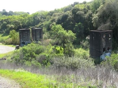
The two concrete towers are dust bins from the old 90-ton-per-day Scott Furnace Plant.
Upper Center:
El Senador Mine circa 1924, looking west towards the Senador Trail. The Furnace plant barely visible behind the dump of waste rock (right), burnt ore (middle) and furnace dust (left).
Upper Right:
Senador Shop circa 1916. The mule was used to haul ore, timber and equipment in and out of the mine. The mine’s heyday was 1915 to 1926 although it was worked on and off from 1863. The barn was dismantled in 1940 and moved to the English Camp site at the New Almaden Mine and is still there today.
Lower Photo:
Looking east to Almaden Valley from the Senador Trail Area, circa 1916.
Under the direction of John Drew, development started by trenching the outcrops of silica-carbonate rock at the ridge-top. A modern reduction plant was built in 1915. It included the first Herreshoff furnace and electrolytic dust collectors ever used in the recovery of quicksilver. Two years later a Scott furnace was added. Prior to 1915, Senador ore was roasted at the Hacienda furnace site in New Almaden.
In 1919 a wooden ore bin caught fire at the Senador’s Scott furnace and destroyed the entire reduction plant. It was quickly rebuilt and mining continued until March 11, 1926.
Erected by Santa Clara County Parks.
Topics. This historical marker is listed in this topic list: Natural Resources. A significant historical date for this entry is March 11, 1772.
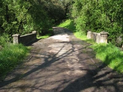
Location. 37° 12.666′ N, 121° 53.412′ W. Marker is in San Jose, California, in Santa Clara County. It is in Almaden. Marker can be reached from McAbee Road, 0.4 miles Quicksilver Park Trailhead to Senador Mine Trail. Turn south off of Camden Road onto McAbee Road, take McAbee Road until it dead ends at the Quicksilver Park trail-head. From the McAbee Road entrance, take the Senador Mine Trail (walking trail) into Quicksilver Park for a little less than half a mile to get to the concrete towers. Marker is located just past the towers. There are trail markers that will point you to the correct trail. Touch for map. Marker is in this post office area: San Jose CA 95120, United States of America. Touch for directions.
Other nearby markers. At least 8 other markers are within 4 miles of this marker, measured as the crow flies. El Senator Mine (within shouting distance of this marker); Almadén Vineyards (approx. 2 miles away); De Anza Expedition 1775 - 1776 (approx. 2.3 miles away); Goodrich Quarry (approx. 2.3 miles away); Wood Road & Jacques Ridge (approx. 2.9 miles away); Santa Isabel Shaft (approx. 3 miles away); The Buena Vista (approx. 3.1 miles away); Mining Operations (approx. 3.2 miles away). Touch for a list and map of all markers in San Jose.
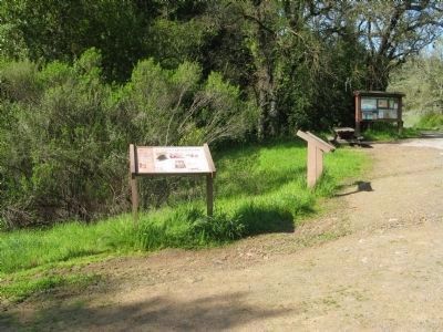
Photographed By Syd Whittle, March 28, 2011
4. On the Trail to the El Senador Mine
Wayside markers at a fork in the trail. The marker on the left informs hikers that the trail to the left will take you to the Providencia Mine and the trail on the right will take you to the El Senador Mine site. The marker on the right warns hikers of mountain lions in the area and safety precautions one should take.
Credits. This page was last revised on February 7, 2023. It was originally submitted on April 5, 2011, by Syd Whittle of Mesa, Arizona. This page has been viewed 1,276 times since then and 47 times this year. Photos: 1, 2, 3, 4, 5, 6, 7. submitted on April 5, 2011, by Syd Whittle of Mesa, Arizona.
