Near Barnesville in Lamar County, Georgia — The American South (South Atlantic)
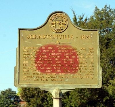
Johnstonville – 1821
Erected 1954 by Georgia Historical Commission. (Marker Number 102-2.)
Topics and series. This historical marker is listed in this topic list: Settlements & Settlers. In addition, it is included in the Georgia Historical Society series list. A significant historical year for this entry is 1821.
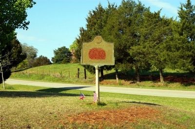
Location. 33° 5.345′ N, 84° 4.456′ W. Marker is near Barnesville, Georgia, in Lamar County. Marker is at the intersection of Johnstonville Road and Van Buren Road, on the right when traveling east on Johnstonville Road. Touch for map. Marker is in this post office area: Barnesville GA 30204, United States of America. Touch for directions.
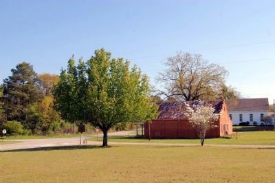
Other nearby markers. At least 8 other markers are within 6 miles of this marker, measured as the crow flies. Johnstonville Historic District (within shouting distance of this marker); Goggans, Georgia (approx. 1.4 miles away); Barnesville Post Office (approx. 5.2 miles away); Barnesville Railroad Depot (approx. 5.3 miles away); Women of the Confederacy (approx. 5.3 miles away); Confederate Hospital (approx. 5.3 miles away); Confederate Hospitals (approx. 5.3 miles away); Barnesville Presbyterian Church (approx. 5.3 miles away). Touch for a list and map of all markers in Barnesville.
More about this marker. The marker is incorrectly numbered for the adjacent Monroe County (102) rather Lamar County (085).
Credits. This page was last revised on June 16, 2016. It was originally submitted on April 6, 2011, by David Seibert of Sandy Springs, Georgia. This page has been viewed 858 times since then and 29 times this year. Photos: 1, 2, 3. submitted on April 6, 2011, by David Seibert of Sandy Springs, Georgia. • Bernard Fisher was the editor who published this page.


