Pleasant Grove West in Chesapeake, Virginia — The American South (Mid-Atlantic)
Herring (Heron) Ditch
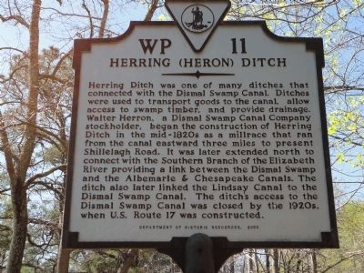
Herring Ditch was one of many ditches that connected with the Dismal Swamp Canal. Ditches were used to transport goods to the canal, allow access to swamp timber, and provide drainage. Walter Herron, a Dismal Swamp Canal Company stockholder, began the construction of Herring Ditch in the mid-1820s as a millrace that ran from the canal eastward three miles to present Shillelagh Road. It was later extended north to connect with the Southern Branch of the Elizabeth River providing a link between the Dismal Swamp and the Albemarle & Chesapeake Canals. The ditch also later linked the Lindsay Canal to the Dismal Swamp Canal. The ditch's access to the Dismal Swamp Canal was closed by the 1920s, when U.S. Route 17 was constructed.
Erected 2003 by Department of Historic Resources. (Marker Number WP-11.)
Topics and series. This historical marker is listed in these topic lists: Bridges & Viaducts • Man-Made Features • Waterways & Vessels. In addition, it is included in the Virginia Department of Historic Resources (DHR) series list.
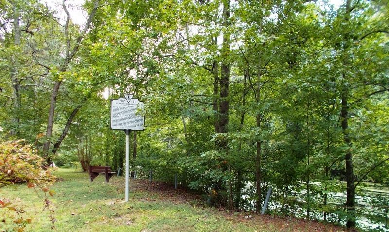
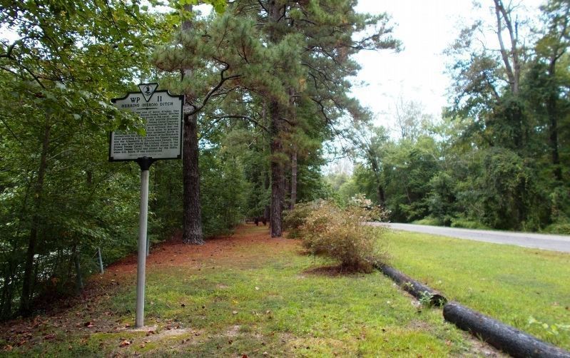
Location. 36° 40.875′ N, 76° 21.689′ W. Marker is in Chesapeake, Virginia. It is in Pleasant Grove West. Marker is on Dismal Swamp Canal Trail, 0.8 miles south of George Washington Highway (U.S. 17), on the right when traveling south. The marker is located on what used to be old Rt 17. Touch for map. Marker is in this post office area: Chesapeake VA 23323, United States of America. Touch for directions.
Other nearby markers. At least 8 other markers are within 5 miles of this marker, measured as the crow flies. Dismal Swamp Canal Trail (approx. 0.2 miles away); Great Dismal Swamp National Wildlife Refuge (approx. 0.4 miles away); From Towpath...to Highway...to "Toe" path (approx. 1.3 miles away); Stone Mileposts along the Dismal Swamp Canal (approx. 2˝ miles away); Outliers (approx. 2.8 miles away); Dismal Swamp Canal (approx. 3.1 miles away); Cody S. Childers (approx. 3.3 miles away); Village of Deep Creek (approx. 4.6 miles away). Touch for a list and map of all markers in Chesapeake.
More about this marker. Enter from the parking area at the entrance of the City of Chesapeake's Dismal Swamp Canal Trail. No motorized vehicles are allowed. Enter on foot, bicycle, or horseback.
Regarding Herring (Heron) Ditch. The marker refers to Walter Herron, a stockholder in the Dismal Swamp Canal company. His Grandson, Walter Herron Taylor, (b. June 13, 1838 - d. March 1, 1916) was a native of Norfolk, VA. He was a local banker, lawyer, soldier, politician, author, and railroad executive. During the War Between the States, he served as General Robert E. Lee's Aide-de-Camp.
Today, the City of Norfolk has an elementary school named after him in Norfolk's West Ghent neighborhood.
Related markers. Click here for a list of markers that are related to this marker. Dismal Swamp Canal Trail
Additional keywords. Dismal Swamp Canal
Photographed By Cynthia L. Clark, September 22, 2017
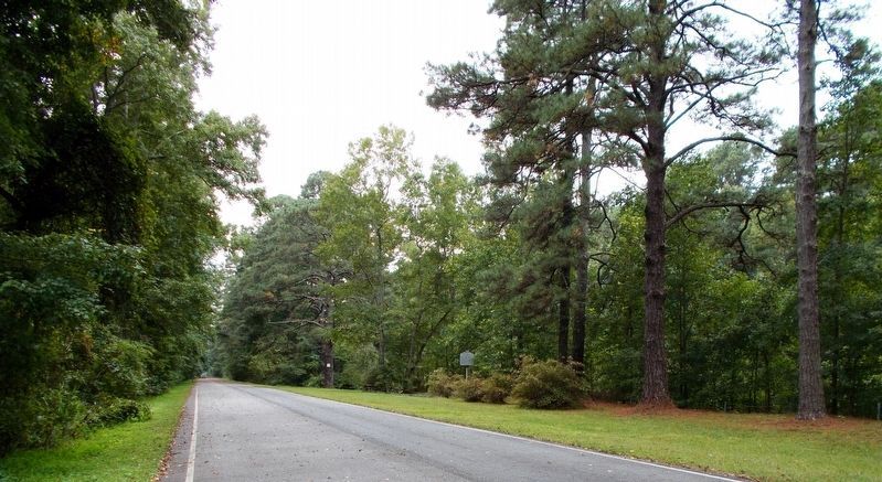
4. Herring (Heron) Ditch Marker, from afar.
In this southward view, the marker appears to hold a solitary position on a long alcove clearing along the Dismal Swamp Canal Trail. It catches the eye about midway of the first 1/4-mile and 1/2-mile markers.
via City of Chesapeake, unknown
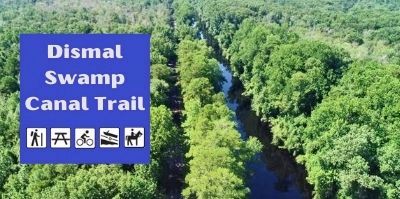
5. Dismal Swamp Canal Trail
City of Chesapeake website entry
Click for more information.
Click for more information.
Credits. This page was last revised on May 28, 2023. It was originally submitted on April 8, 2011, by Larry Hazelwood of Chesapeake, Virginia. This page has been viewed 1,589 times since then and 36 times this year. Last updated on March 1, 2018, by Cosmos Mariner of Cape Canaveral, Florida. Photos: 1. submitted on April 8, 2011, by Larry Hazelwood of Chesapeake, Virginia. 2, 3, 4. submitted on September 24, 2017, by Cynthia L. Clark of Suffolk, Virginia. 5. submitted on April 5, 2023, by Larry Gertner of New York, New York. • Bernard Fisher was the editor who published this page.
