LeRoy in Genesee County, New York — The American Northeast (Mid-Atlantic)
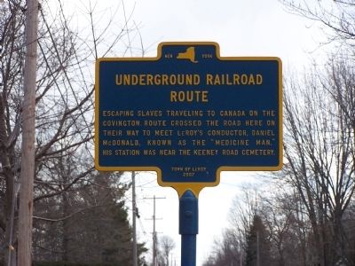
Underground Railroad Route
Erected 2007 by Town of LeRoy.
Topics. This historical marker is listed in this topic list: Abolition & Underground RR.
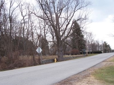
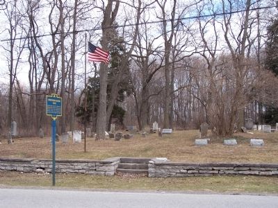
Location. 43° 0.282′ N, 78° 0.871′ W. Marker is in LeRoy, New York, in Genesee County. Marker is on Keeney Road, 0.1 miles south of Randall Road (County Route 8). Touch for map. Marker is in this post office area: Le Roy NY 14482, United States of America. Touch for directions.
Other nearby markers. At least 8 other markers are within 3 miles of this marker, measured as the crow flies. First Jell-O Factory (approx. 1.8 miles away); The Jell-O Company (approx. 2.1 miles away); Machpelah Cemetery (approx. 2.1 miles away); Keeney House (approx. 2.2 miles away); LeRoy Downtown Historic District (approx. 2.2 miles away); Women’s Suffrage (approx. 2.2 miles away); The Steeple / The Church (approx. 2.2 miles away); Anti-Slavery Meetings (approx. 2.2 miles away). Touch for a list and map of all markers in LeRoy.
More about this marker. Located on Keeney Road which is named after Calvin Keeney (the "father of the stringless bean") who bred the first stringless bean while working in Le Roy in 1894.
Regarding Underground Railroad Route. Le Roy had Underground Railroad routes converging on it from both Rochester and Warsaw, NY. Because the trail from Warsaw ran through Covington Township in northern Wyoming County, it was referred to as the Covington Connection. Whether fugitives were from Rochester or Warsaw, they followed the roads from Le Roy west to Niagara.
Credits. This page was last revised on August 22, 2020. It was originally submitted on April 8, 2011, by Pamela Scott of Brockport, New York. This page has been viewed 1,877 times since then and 51 times this year. Photos: 1, 2, 3. submitted on April 8, 2011, by Pamela Scott of Brockport, New York. • Bernard Fisher was the editor who published this page.


