Near Loretto in Marion County, Kentucky — The American South (East South Central)
Old Gristmill-Distillery
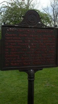
Charles Burks began a distillery operation, circa 1805-1815, in connection with family gristmill. It was located near the present stillhouse. Charles Burks died in 1831, and the distillery was in operation until then. In 1889, distilling was begun again by George R. Burks, a great-grandson. He erected present plant now known as Maker's Mark Distillery.
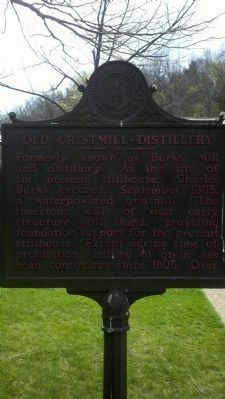
Formerly known as Burks Mill and distillery. At the site of the present stillhouse, Charles Burks erected, September 1805, a waterpowered gristmill. The limestone walls of that early structure still stand, providing foundation support for the present stillhouse. Except during time of prohibition, milling of grain has been continuous since 1805. Over
Erected 1974 by Kentucky Historical Society. (Marker Number 1509.)
Topics and series. This historical marker is listed in this topic list: Industry & Commerce. In addition, it is included in the Kentucky Historical Society series list. A significant historical year for this entry is 1831.
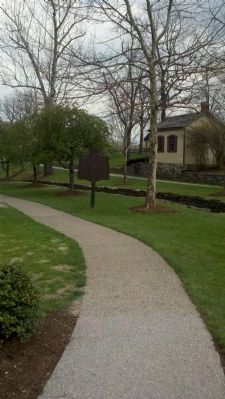
Location. 37° 38.85′ N, 85° 20.983′ W. Marker is near Loretto, Kentucky, in Marion County. Marker is on Don Ryan Road, 0.1 miles north of Burk Spring Road, on the right when traveling north. Touch for map. Marker is at or near this postal address: 3350 Burk Spring Road, Loretto KY 40037, United States of America. Touch for directions.
Other nearby markers. At least 8 other markers are within 7 miles of this marker, measured as the crow flies. Loretto Sisters (approx. 3.6 miles away); Saint Mary’s College (approx. 4.7 miles away); Catholic Pioneers (approx. 5.6 miles away); Saint Rose Priory (approx. 5.7 miles away); Ben Hardin, 1784-1852. ← Grave (approx. 6.1 miles away); Cartwright's Station (approx. 6.2 miles away); Matthew Walton (approx. 6.6 miles away); Saint Catharine (approx. 6.6 miles away).
Also see . . .
1. Makers Mark Bourbon. (Submitted on April 11, 2011, by Bernard Fisher of Richmond, Virginia.)
2. The Kentucky Bourbon Trail. (Submitted on April 11, 2011, by Bernard Fisher of Richmond, Virginia.)
Credits. This page was last revised on September 21, 2020. It was originally submitted on April 8, 2011, by Deborah Poor of Fort Wayne, Indiana. This page has been viewed 785 times since then and 29 times this year. Photos: 1, 2, 3. submitted on April 8, 2011, by Deborah Poor of Fort Wayne, Indiana. • Bernard Fisher was the editor who published this page.


