Sandy Hook in Middletown Township in Monmouth County, New Jersey — The American Northeast (Mid-Atlantic)
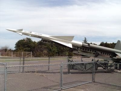
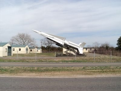
Nike Missile Site
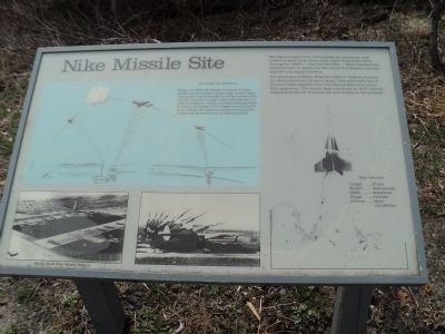
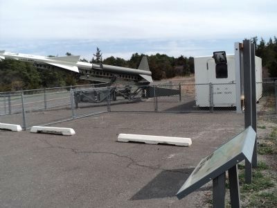
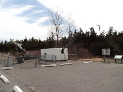
Missiles emerged from silos beneath the pavement, and waited on launching racks while radar tracked the skies. During the 1950s the Cold War Era Nike missiles were stationed here to defend the New York-Philadelphia corridor against long-range bombers.
The peninsula of Sandy Hook provided an isolated location for newly-developed forms of radar. Like other batteries in the area these weapons were mounted as deterrent rather than aggressor. The missile base was closed in 1974, and the missile defenses for this area are now hidden in the Midwest.
Guiding the Missiles
Radar provides the deadly accuracy of these surface-to-air missiles. Long-range search radar emits radio waves that bounce off an unidentified aircraft and return flight-path information to a control computer, which activates tracking radar to lock on the target. If the target is confirmed to be an enemy, the control computer launches the missile and guides it with a command radio.
Erected by National Park Service, U.S. Department of the Interior.
Topics. This historical marker is listed in these topic lists: Air & Space • War, Cold. A significant historical year for this entry is 1974.
Location. 40° 25.986′ N, 73° 59.282′ W. Marker is in Middletown Township, New Jersey, in Monmouth County. It is in Sandy Hook. Marker is on Hartshore Drive, on the left when traveling north. Marker is located in the Sandy Hook Unit of Gateway National Recreation Area. Touch for map. Marker is in this post office area: Highlands NJ 07732, United States of America. Touch for directions.
Other nearby markers. At least 8 other markers are within one mile of this marker, measured as the crow flies. Discover Sandy Hook (approx. 0.3 miles away); Sandy Hook (approx. 0.3 miles away); U.S. Life-Saving Station / Spermaceti Cove - Holly Forest (approx. half a mile away); a different marker also named Sandy Hook (approx. half a mile away); Spermaceti Cove Station No. 2 (approx. half a mile away); a different marker also named Nike Missile Site (approx. one mile away); British Embarkation (approx. one mile away); Nike Missile Radar Site (approx. 1.1 miles away). Touch for a list and map of all markers in Middletown Township.
More about this marker. The sidebar includes an illustration of radar tracking airplanes. Two photos of the Sandy Hook Nike Missile Battery are at the bottom left of the marker.
A picture of a missile appears at the right side of the marker, and includes the specifications:
Length: . 27 feet
Weight: . 5000 pounds
Speed: . Supersonic
Range: . 75 miles
Altitude: . Above 150,000 feet
Also see . . . Fort Hancock. NY Harbor Parks website. (Submitted on April 15, 2011, by Bill Coughlin of Woodland Park, New Jersey.)
Credits. This page was last revised on February 7, 2023. It was originally submitted on April 15, 2011, by Bill Coughlin of Woodland Park, New Jersey. This page has been viewed 1,843 times since then and 49 times this year. Photos: 1, 2, 3, 4, 5, 6. submitted on April 15, 2011, by Bill Coughlin of Woodland Park, New Jersey.
