Near Fredericksburg, Virginia — The American South (Mid-Atlantic)
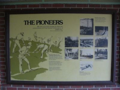
The Pioneers
“My army is as much stronger for these new entrenchments as if I had received reinforcements of 20,000 men.”
- R.E. Lee, Decenber 14, 1862
Preparing Breastworks
In December, 1862, the Confederates had no organized engineer corps. For construction of defenseive works they relied on pioneers, special detachments from each regiment.
At Fredericksburg, the pioneers formed the core of Confederate work parties, but everyone pitched in to entrench the 7-mile line. The troops made effective use of existing cover.
The men constructed additional protecting works. Lee’s Hill was heavily wooded. The pioneers removed all trees in front of artillery positions.
Trenches Then and Now
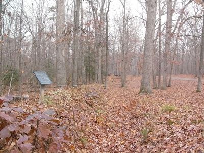
Civil War earthworks were generally tall enough to protect infantrymen standing up. After the war, the trenches eroded several feet before becoming stabilized by nature.
Topics. This historical marker is listed in these topic lists: Man-Made Features • Military • War, US Civil. A significant historical month for this entry is December 1862.
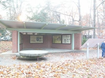
Location. 38° 17.094′ N, 77° 28.575′ W. Marker is near Fredericksburg, Virginia. Marker is at the top of Lee's Hill, accessible from a parking pullout on Lee Drive. This marker is located in an exhibit shelter, along with other markers. Touch for map. Marker is in this post office area: Fredericksburg VA 22401, United States of America. Touch for directions.
Other nearby markers. At least 8 other markers are within walking distance of this marker. The Second Battle of Fredericksburg (here, next to this marker); Artillery on Lee's Hill (here, next to this marker); Lee's Hill, the commander's lookout (here, next to this marker); The Battle of Fredericksburg from Lee's Hill, December, 1862 (here, next to this marker); Near Disaster (a few steps from this marker); Lee's Command Post (a few steps from this marker); a different marker also named Lee’s Hill (a few steps from this marker); Lee's Headquarters (about 400 feet away, measured in a direct line). Touch for a list and map of all markers in Fredericksburg.
More about this marker. On the right side of the marker are several pictures depicting defensive works commonly used by both sides, using existing natural and man-made features, or new work performed by Pioneer and Engineer Corps. Included are:
Trench at the Wilderness soon after the battle
Trench remains on the Fredericksburg Battlefield
Railroad Embankments
Road Cuts
Stone Walls
Rifle Trenches
Abatis
Artillery Emplacements (modern view showing trees)
The drawing on the bottom shows a prone infantryman preparing a hasty defense. The caption included below the drawing states, “Digging In - Fredericksburg helped prove the value of cover. By 1863, the soldiers in both armies needed little urging to make the dirt fly.
Credits. This page was last revised on February 2, 2023. It was originally submitted on December 13, 2007, by Kevin W. of Stafford, Virginia. This page has been viewed 1,253 times since then and 9 times this year. Photos: 1. submitted on December 13, 2007, by Kevin W. of Stafford, Virginia. 2. submitted on December 12, 2007, by Kevin W. of Stafford, Virginia. 3, 4. submitted on December 11, 2007, by Kevin W. of Stafford, Virginia.


