Cornwall Bridge in Litchfield County, Connecticut — The American Northeast (New England)
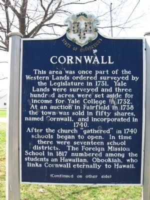
Cornwall
After the church "gathered" in 1740 schools began to open. In time there were seventeen school districts. The Foreign Mission School in 1817 numbered among the students an Hawaiian, Obookiah, who links Cornwall eternally to Hawaii.
[ back ]
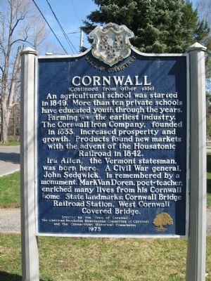
An agricultural school was started in 1849. More than ten private schools have educated youth through the years. Farming was the earliest industry. The Cornwall Iron Company, founded in 1833, increased prosperity and growth. Products found new markets with the advent of the Housatonic Railroad in 1842.
Ira Allen, the Vermont statesman, was born here. A Civil War general, John Sedgwick, is remembered by a monument. Mark Van Doren, poet-teacher, enriched many lives from his Cornwall home. State Landmarks: Cornwall Bridge Railroad Station, West Cornwall Covered Bridge.
Erected by the Town of Cornwall
The American Revolution Bicentennial Committee of Cornwall
and the Connecticut Historical Commission
1975
Erected 1975 by the Town of Cornwall, The American Revolution Bicentennial Committee of Cornwall, the Connecticut Historical Commission.
Topics. This historical marker is listed in these topic lists: Colonial Era • Settlements & Settlers. A significant historical year for this entry is 1731.
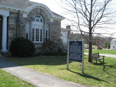
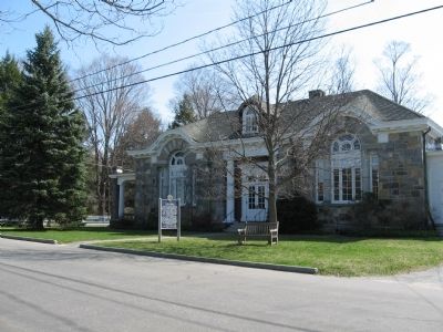
Location. 41° 50.614′ N, 73° 19.785′ W. Marker is in Cornwall, Connecticut, in Litchfield County. It is in Cornwall Bridge. Marker is at the intersection of Pine Street and Bolton Hill Road, on the left when traveling south on Pine Street. Located in front of Cornwall Town Hall. Touch for map. Marker is at or near this postal address: 26 Pine Street, Cornwall CT 06753, United States of America. Touch for directions.
Other nearby markers. At least 8 other markers are within 5 miles of this marker, measured as the crow flies. Scion of the Charter Oak (a few steps from this marker); Cornwall World War I – World War II Veterans Monument (a few steps from this marker); Cornwall Korea – Vietnam Veterans Monument (a few steps from this marker); This Tree (about 300 feet away, measured in a direct line); First Foreign Mission School (about 300 feet away); Francis L. Sheane Memorial (approx. 2.8 miles away); Major General John Sedgwick (approx. 4.4 miles away); Milton F. "Mike" Dusek Memorial (approx. 5 miles away). Touch for a list and map of all markers in Cornwall.
Also see . . .
1. Town of Cornwall, Connecticut. (Submitted on April 19, 2011, by Michael Herrick of Southbury, Connecticut.)
2. Cornwall, Connecticut on Wikipedia. (Submitted on April 19, 2011, by Michael Herrick of Southbury, Connecticut.)
Credits. This page was last revised on February 10, 2023. It was originally submitted on April 19, 2011, by Michael Herrick of Southbury, Connecticut. This page has been viewed 764 times since then and 27 times this year. Photos: 1, 2, 3, 4. submitted on April 19, 2011, by Michael Herrick of Southbury, Connecticut.


