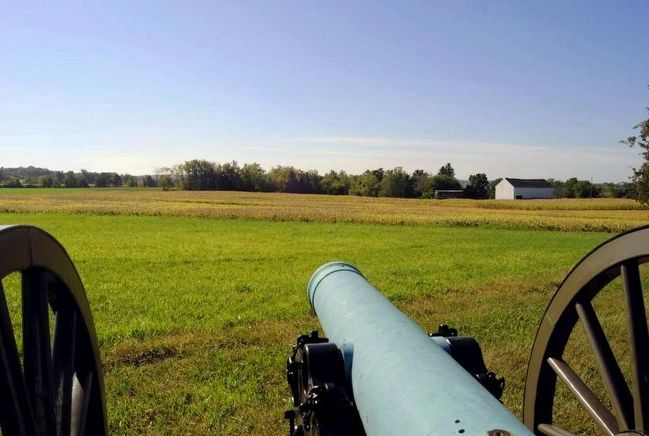
Mount Pleasant Township near Gettysburg in Adams County, Pennsylvania — The American Northeast (Mid-Atlantic)
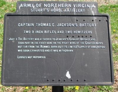
Captain Thomas E. Jackson's Battery
Stuart's Horse Artillery
— Army of Northern Virginia —
Stuart's Horse Artillery
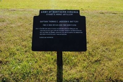
Captain Thomas E. Jackson's Battery
Two 3 inch Rifles and two howitzers
July 3 The Battery was attached to Jenkins's Cavalry Brigade and took part in the fight here on the right wing of the Confederates not far from the Rummel barn but its limited supply of ammunition was soon exhausted and it was withdrawn.
Losses not reported.
Erected 1906 by Gettysburg National Military Park Commission.
Topics. This historical marker is listed in this topic list: War, US Civil. A significant historical date for this entry is July 3, 1863.
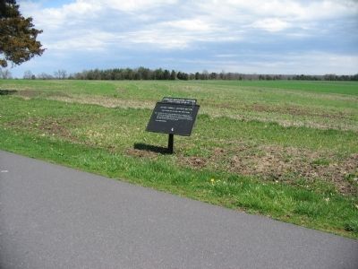
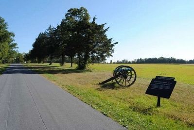
Location. 39° 50.063′ N, 77° 10.232′ W. Marker is near Gettysburg, Pennsylvania, in Adams County. It is in Mount Pleasant Township. Marker is on Cavalry Field Road (Confederate Cavalry Avenue), on the right when traveling south. Located in the East Cavalry Battlefield section of the Gettysburg National Military Park. Touch for map. Marker is in this post office area: Gettysburg PA 17325, United States of America. Touch for directions.
Other nearby markers. At least 10 other markers are within walking distance of this marker. Cavalry Division (about 300 feet away, measured in a direct line); Chambliss's Brigade (about 500 feet away); McGregor's Battery - Beckham's Battalion (about 600 feet away); Hampton's Brigade (approx. 0.2 miles away); Breathed's Battery - Beckham's Battalion (approx. 0.2 miles away); Horse Artillery (approx. ¼ mile away); Green's Battery - Jones's Battalion (approx. 0.3 miles away); A Thunderous Charge (approx. 0.3 miles away); Fitzhugh Lee's Brigade (approx. 0.3 miles away); Civil War Hospital (approx. 0.4 miles away). Touch for a list and map of all markers in Gettysburg.
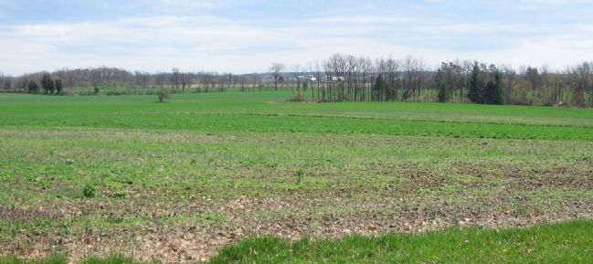
Photographed By Craig Swain, April 12, 2008
5. Jackson's Field of View
Looking to the east, past the Rummel Farm (to the right out of frame). In the distant center, through the tree lines, stands the buildings around the Lott farm. Federal cannon under Lt. Chester were posted just south (right) of there. Most of McIntosh's Federal brigade were posted in the woods to the north (left) of the Lott farm. If one looks closely, the Gregg Cavalry Shaft is visible on the far ridge, just in front of the Lott Woods.
Credits. This page was last revised on February 7, 2023. It was originally submitted on July 21, 2008, by Craig Swain of Leesburg, Virginia. This page has been viewed 1,325 times since then and 31 times this year. Last updated on April 23, 2011, by Eric Milask of Cherry Hill, New Jersey. Photos: 1. submitted on July 21, 2008, by Craig Swain of Leesburg, Virginia. 2. submitted on December 2, 2015, by Brian Scott of Anderson, South Carolina. 3. submitted on July 21, 2008, by Craig Swain of Leesburg, Virginia. 4. submitted on December 2, 2015, by Brian Scott of Anderson, South Carolina. 5. submitted on July 21, 2008, by Craig Swain of Leesburg, Virginia. 6. submitted on December 2, 2015, by Brian Scott of Anderson, South Carolina.
