Columbus in Muscogee County, Georgia — The American South (South Atlantic)
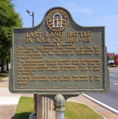
Last Land Battle in War of 1861-65
The engagement began directly west of Columbus in Alabama and ended on the Georgia side of the Chattahoochee. The defending line of entrenchments (in Alabama) was more than a mile in length.
Artillery mounted on high hills was used in the action. Both cavalry and infantry engaged in the battle.
Erected 1953 by Georgia Historical Commission. (Marker Number 106-1.)
Topics and series. This historical marker is listed in this topic list: War, US Civil. In addition, it is included in the Georgia Historical Society series list. A significant historical month for this entry is April 1949.
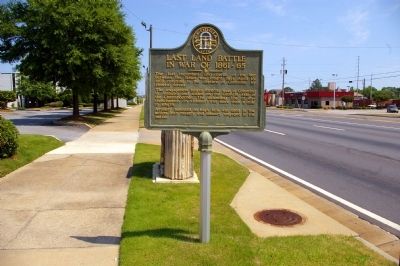
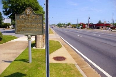
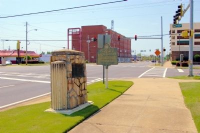
Location. 32° 28.35′ N, 84° 59.25′ W. Marker is in Columbus, Georgia, in Muscogee County. Marker is at the intersection of Veterans Parkway (U.S. 27) and 14th Street, on the right when traveling south on Veterans Parkway. Touch for map. Marker is in this post office area: Columbus GA 31901, United States of America. Touch for directions.
Other nearby markers. At least 8 other markers are within walking distance of this marker. Tyler Home (a few steps from this marker); Bullard-Hart-Sampson House (about 500 feet away, measured in a direct line); High Uptown Historic District / Garrett-Bullock-Delay House (approx. 0.2 miles away); Birthplace of Robert Winship Woodruff (approx. 0.2 miles away); Ernest Woodruff / Robert Winship Woodruff (approx. 0.2 miles away); Winona Cargile Alexander: A Founder of Delta Sigma Theta Sorority, Incorporated (approx. 0.2 miles away); The Rankin House (approx. 0.2 miles away); Saint John African Methodist Episcopal Church (approx. 0.2 miles away). Touch for a list and map of all markers in Columbus.
Credits. This page was last revised on June 16, 2016. It was originally submitted on May 2, 2011, by David Seibert of Sandy Springs, Georgia. This page has been viewed 926 times since then and 39 times this year. Photos: 1, 2, 3, 4. submitted on May 2, 2011, by David Seibert of Sandy Springs, Georgia. • Craig Swain was the editor who published this page.


