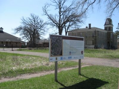
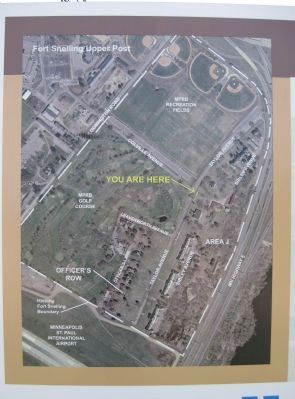
Fort Snelling in Hennepin County, Minnesota — The American Midwest (Upper Plains)
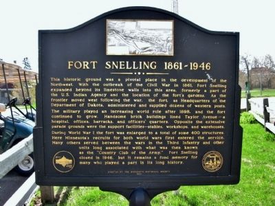
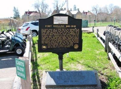
Fort Snelling 1861–1946
The military played an increasing world roll after 1898, and the fort continued to grow. Handsome brick buildings lined Taylor Avenue–a hospital, offices, barracks, and officers' quarters. Opposite the extensive parade grounds were the support facilities–stables, workshops, and warehouses.
During World War I the fort was enlarged to a total of some 400 structures. Here Minnesota's recruits for both world wars first entered the service. Many others served between the wars in the Third Infantry and other units long associated with what was then known as the "Country Club of the Army." Fort Snelling closed in 1946, but it remains a fond memory for many who played a part in its long history.
Erected 1989 by the Minnesota Historical Society.
Topics and series. This historical marker is listed in these topic lists: Forts and Castles • War, US Civil • War, World I • War, World II. In addition, it is included in the Minnesota Historical Society, and the National Historic Landmarks series lists. A significant historical year for this entry is 1861.
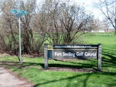
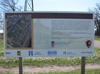
Location. 44° 53.143′ N, 93° 11.63′ W. Marker is in Fort Snelling, Minnesota, in Hennepin County. Marker is on Leavenworth Avenue west of Taylor Avenue. The marker is by the Club House at the Fort Snelling Golf Club located in the historical Fort Snelling complex. Touch for map. Marker is at or near this postal address: 5701 Leavenworth Avenue, Saint Paul MN 55111, United States of America. Touch for directions.
Other nearby markers. At least 8 other markers are within walking distance of this marker. Elizabeth R. Snelling (approx. 0.6 miles away); Giacomo Constantino Beltrami (approx. 0.6 miles away); Colonel Josiah Snelling (approx. 0.6 miles away); Whiskey (approx. 0.6 miles away); The Treaty of 1805 (approx. 0.7 miles away); Travel through 10,000 years of human history (approx. 0.7 miles away); Hope (approx. 0.7 miles away); Identity (approx. 0.7 miles away). Touch for a list and map of all markers in Fort Snelling.
More about this marker.
Photographed By K. Linzmeier, April 29, 2011
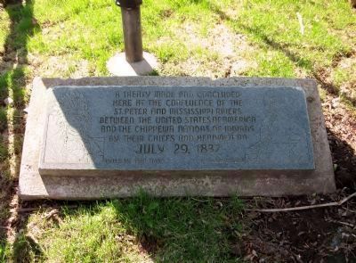
2. Tablet by Marker
A treaty made and concluded here at the confluence of the St. Peter and Mississippi Rivers between the United States of America and the Chippewa Nations of Indians by their chiefs and headmen on July 29, 1837.
Hole in the Day
L. Taliaferro
Hole in the Day
L. Taliaferro
Also see . . .
1. Historic Fort Snelling. Minnesota Historical Society. (Submitted on May 6, 2011.)
2. A brief history of Fort Snelling. Minnesota Historical Society. (Submitted on May 6, 2011.)
3. Fort Snelling. Wikipedia entry. (Submitted on May 6, 2011.)
4. Lawrence Taliaferro. Wikipedia entry. (Submitted on May 6, 2011.)
Credits. This page was last revised on December 1, 2022. It was originally submitted on May 6, 2011, by Keith L of Wisconsin Rapids, Wisconsin. This page has been viewed 1,708 times since then and 48 times this year. Last updated on November 23, 2022, by McGhiever of Minneapolis, Minnesota. Photos: 1, 2, 3, 4, 5, 6, 7. submitted on May 6, 2011, by Keith L of Wisconsin Rapids, Wisconsin. • J. Makali Bruton was the editor who published this page.
